Saturday 9/28/2024 School From 7:00 AM Until 2:00 PM (Daily Diary)
Mary had to wake up the chickens this morning because they slept too long. I mean, someone had to do it, right? And I didn't walk her to school because, let's be honest, I needed to save my energy for all the important stuff I had to do later, like deciding what to have for lunch. I puttered around the room and finished off Day 2 of this grand adventure, which mostly involved figuring out where I left my ticket to ride the bus.
The bus wanted me there at 9:30, so I departed at 9:00 am and walked to Testa's Restaurant to pick up my tickets. As I mosied to the pickup point, the tide was noticeably higher than last night!
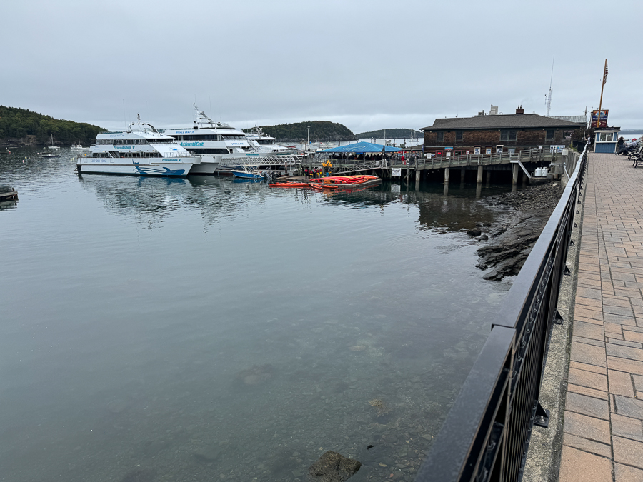
The tide is in!


I had breakfast and sate where I would NOT miss the bus!

It doubles as a bar later on in the day!

Acadia National Park is a national park of the United States located along the mid-section of the Maine coast, southwest of Bar Harbor. The park includes about half of Mount Desert Island, part of the Isle au Haut, the tip of the Schoodic Peninsula, and portions of sixteen smaller outlying islands.
The park contains the tallest mountain on the Atlantic Coast of the United States (Cadillac Mountain), exposed granite domes, glacial erratics, U-shaped valleys, and cobble beaches. Its mountains, lakes, streams, wetlands, forests, meadows, and coastlines contribute to a diversity of plants and animals. Woven into this landscape is a historic carriage road system financed by John D. Rockefeller Jr. In total, it encompasses 49,075 acres (19,860 ha; 76.680 sq mi; 198.60 km2) as of 2017.
Acadia has a rich human history, dating back more than 10,000 years ago with the Wabanaki people. The 17th century brought fur traders and other European explorers, while the 19th century saw an influx of summer visitors, then wealthy families. Many conservation-minded citizens, among them George B. Dorr (the "Father of Acadia National Park"), worked to establish this first U.S. national park east of the Mississippi River and the only one in the Northeastern United States. Acadia was initially designated Sieur de Monts National Monument by proclamation of President Woodrow Wilson in 1916, then renamed and redesignated Lafayette National Park in 1919. The park was renamed Acadia National Park in 1929.
Recreational activities from spring through autumn include car and bus touring along the Park Loop Road; hiking, bicycling, and horseback riding on carriage roads (motor vehicles are prohibited); fishing; rock climbing; kayaking and canoeing on lakes and ponds; swimming at Sand Beach and Echo Lake; sea kayaking and guided boat tours on the ocean; and various ranger-led programs. Winter activities include cross-country skiing, snowshoeing, snowmobiling, and ice fishing. Two campgrounds are located on Mount Desert Island, another campground is on the Schoodic Peninsula, and five lean-to sites are on Isle au Haut. The main visitor center is at Hulls Cove, northwest of Bar Harbor. Park visitation has been steadily increasing in Acadia over the past decade, with 2021 seeing a record count of 4.07 million visitors. In 2023 the park saw 3,879,890 recreational visitors
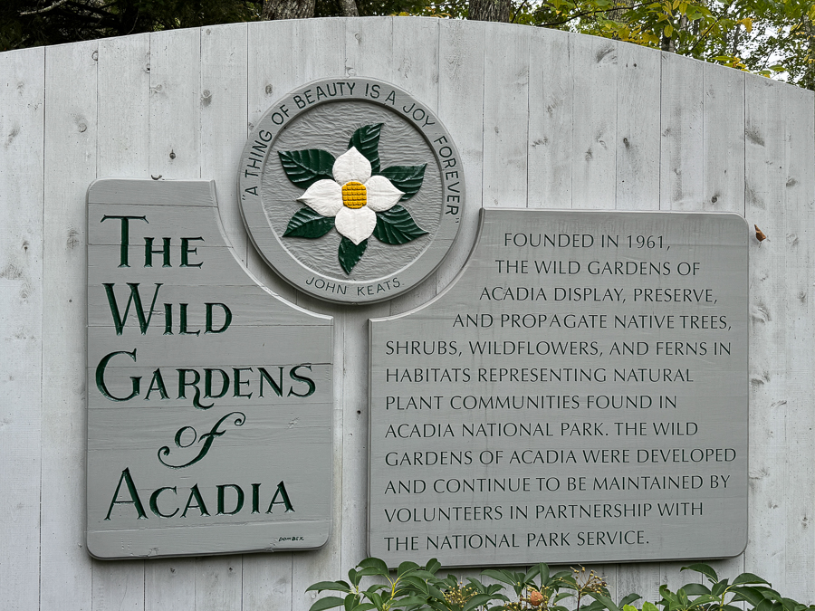
We were off on time at 10:00 am and headed to Acadia National Forest. The first stop was "The Wild Gardens". The Wild Gardens of Acadia is located in the Sieur de Monts area of Acadia National Park.

It was a cold dewy morning... Everything was wet.
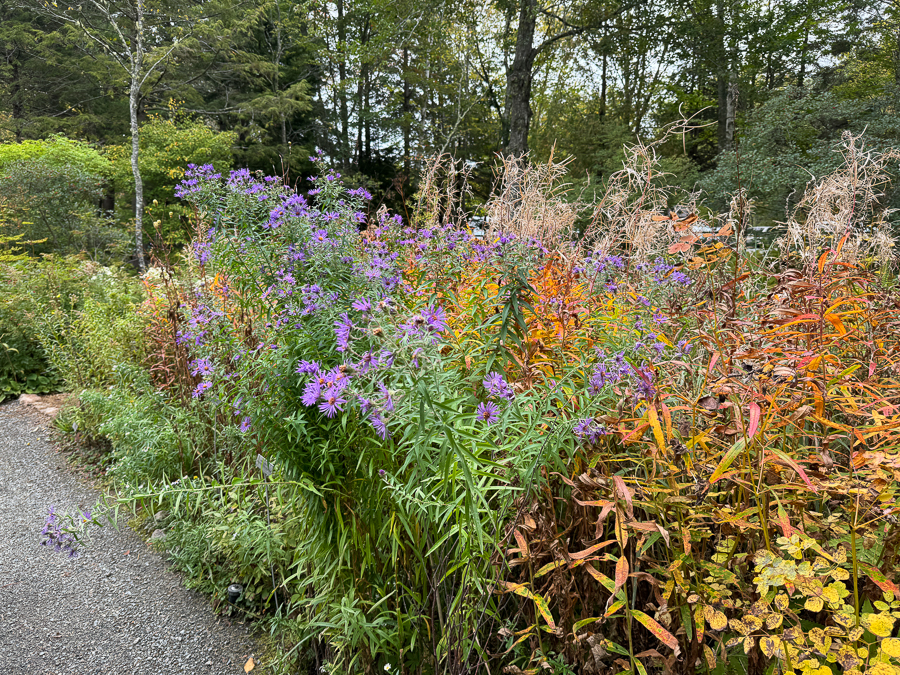
The end of summer was showing.

Non edible but pretty.
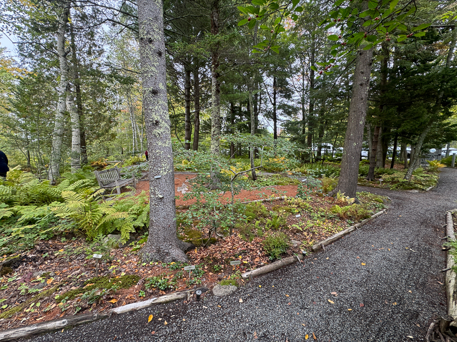
The garden paths were well maintained.

The stream was quiet, like a mirror.

Every color of green one cold imagine.

No wonder everything grows so well.
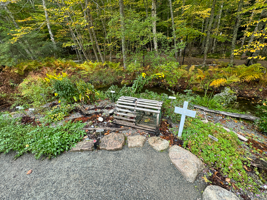
This is called "The Beach", I know not why!

Stream everywhere.

The pipe was the only sign of civilization.

Must be great to work here.

Back to the bus.

The bus was quite comfortable.
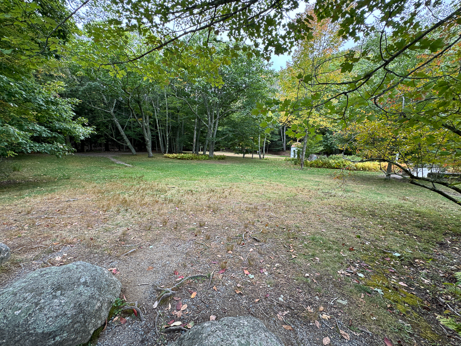
When warm, it was a picnic area.

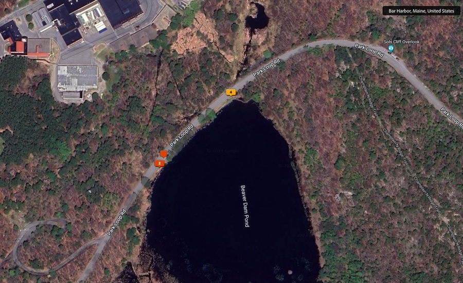
Beaver Dam Pond!
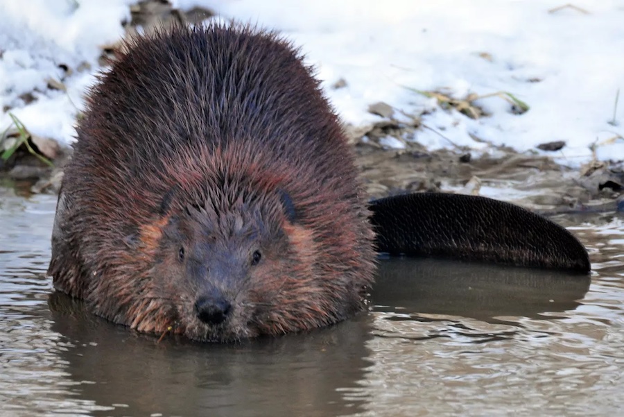
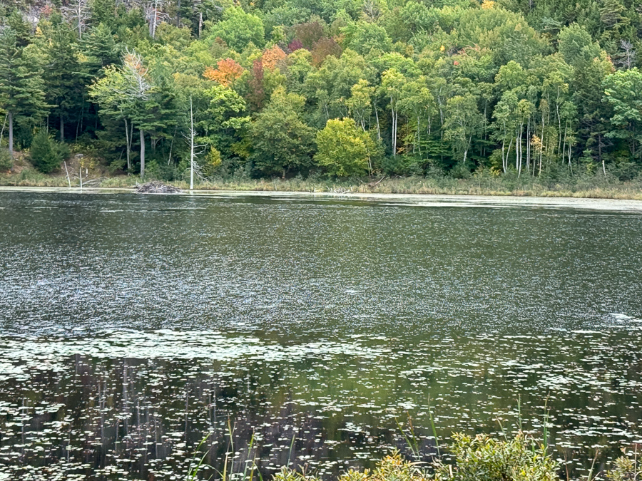
There is a small Beaver lodge in the distance.
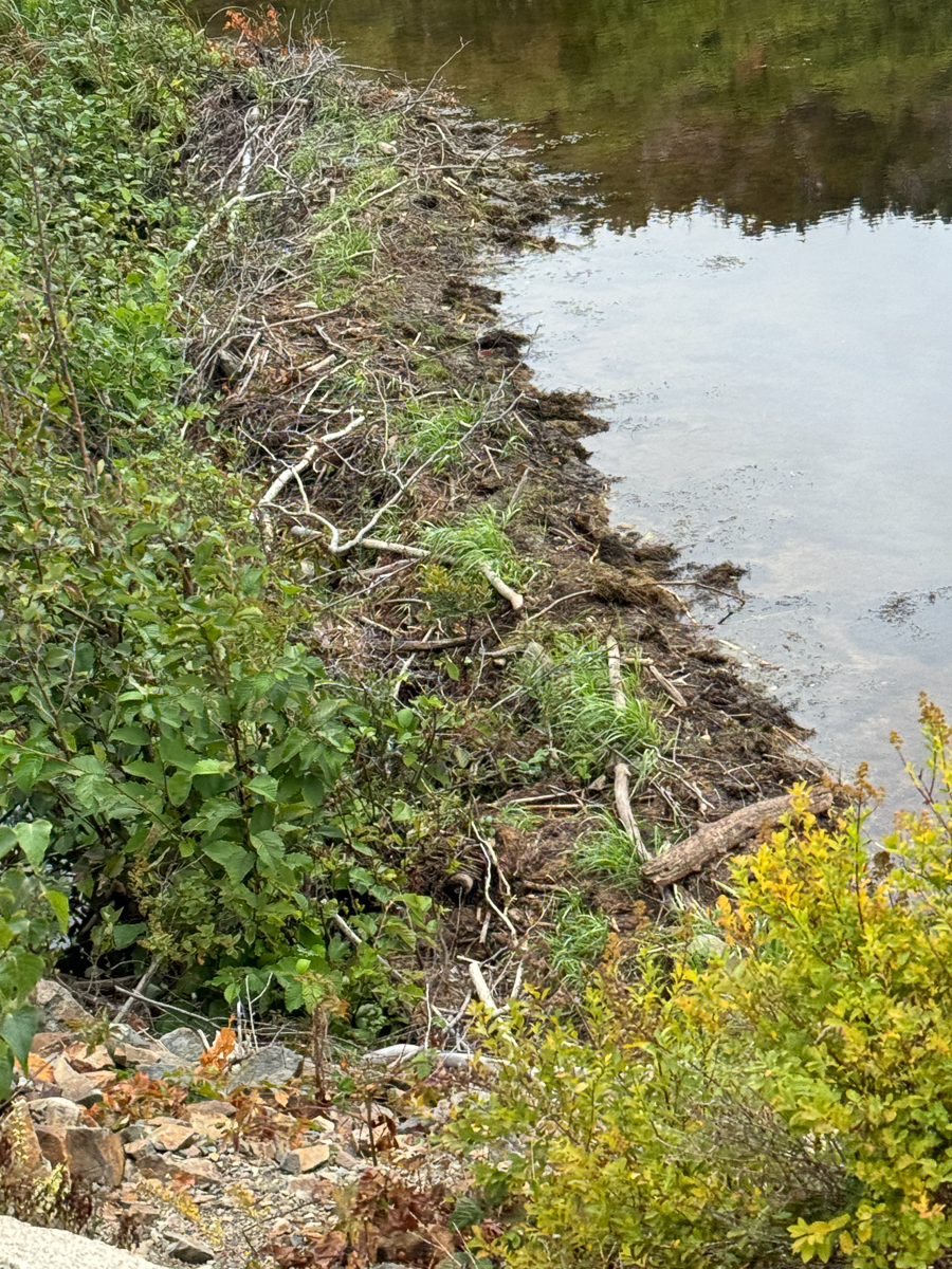
This dam is totally watertight and contains a living area.
The Beaver Dam was built so well that no water left the lake. Beavers build watertight dams made of woven sticks, reeds, branches, and saplings caulked together with mud and rocks. The dams form low-moving ponds that reduce stream erosion and provide a brand-new habitat for small fish and other aquatic wildlife. Rocks make up a large part of dams.
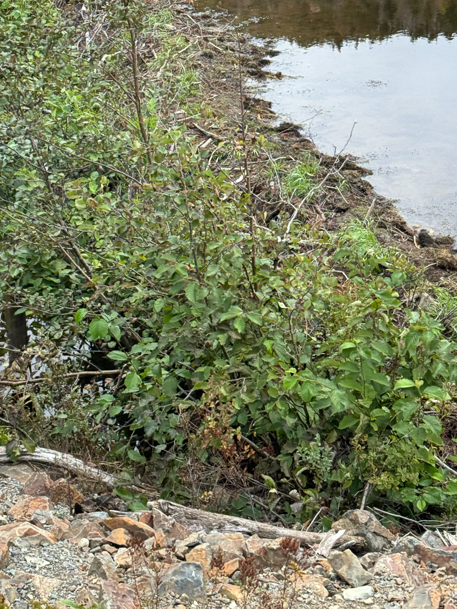
Road engineers had to build a pipe by the side to keep the water from filling the road.
A beaver dam or beaver impoundment is a dam built by beavers; it creates a pond which protects against predators such as coyotes, wolves and bears, and holds their food during winter.

Well disguised.
Did You Know? - Here are some fun facts about beavers:
Teeth Beavers have orange teeth due to an iron-rich enamel coating that protects them. Their teeth grow continuously throughout their lives, so they chew wood to keep them at a healthy length.
Size Beavers are the largest rodents in North America and the second largest in the world.
Ecosystem engineers Beavers are known as "ecosystem engineers" because they modify their environment to create habitats. They build dams, dig canals, and coppice trees and shrubs.
Diet Beavers are herbivores that eat leaves, woody stems, aquatic plants, and tree bark. They have gut microorganisms that help them digest up to 30% of the cellulose they eat.
Monogamous Beavers are typically monogamous, with males staying with females year-round. They mate between January and March, and have litters of one to nine kits, with four being typical. Burping and passing gas Beavers can't burp, but they can pass gas.
Beavers have many ecological benefits, including: Recharging groundwater, Maintaining healthy stream flow, Increasing watershed biodiversity, and Reducing the risk of wildfires.

They are quite industrious!

Did You Know? - Ancient geological forces and the passage of time long ago formed Thunder Hole and the surrounding rocky coastline that characterizes Mount Desert Island today. Clara Barns Martin's 1867 'Guide Book for Mount Desert Island,' mentions 'Thunder Hole or Thunder Cave, a deep chasm into which with every returning wave the water rolls and swirls, and when wind and tide conspire, the wave is thrown against the overhanging rock with a blow that makes the whole cliff shake and the air tremble as with the crash of thunder. The wind should be south of east and the side just at the point to throw the wave under the rock. Failing this, there will be disappointment." In the early 1900s, the local Village Improvement Associations constructed hiking paths to the site. Later, roads followed, including the Park Loop Road in the 1930s..
In 1934, the park's first ranger station was constructed on the west side of the Thunder Hold parking lot by the New Deal-era Works Progress Administration (WPA). The 26x16 foot, one-story building is set on a stone foundation and features a hipped roof and vertical board and batten siding. The interior included a ranger's room with a stone fireplace and another room that served as a store. Tow large stones flank the steps into the building that were a part of the original design. A copper strip is visible above the door frame and the chimney with terra cotta pots can be seen from the front the building. The building was one of the first at Acadia designed in the NPS Rustic Design style and was inspired by regional architectural forms. In the late 1960s the building was converted into a concessioner's gift shop. In the 1970s, the roof was reconstructed and new restrooms were constructed in 1982.
The park's 195 Master Plan identified the Thunder Hole as a major developed area in the park and every subsequent master plan followed. Additional facilities were added to the site including restrooms (later removed) in 1941. In the 1960s, walkway systems were constructed including wider paths, higher retaining walls, and the addition of more handrails.
The current lower walkway system was completely reconstructed again in 1992-1993 and an accessible ramp with switchback was constructed.
The Thunder Hole area is on the National Register of Historic Places for its rustic design and New Deal-era history.


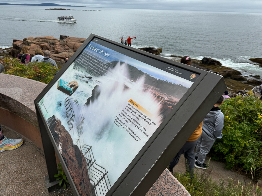
It is great exercise but I opted out.

The area is visible by the tour boats; we saw it last night!

Easy walking they said!

Bye bye boat!

Back to the bus!

We go higher toward Cadillac Peak!
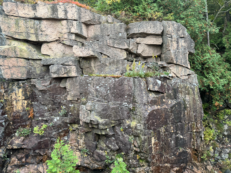
The road was blasted out of solid rock.


Not very high by our standards.
Did You Know? - Cadillac Mountain is a popular destination for visitors to Acadia National Park. Accessible by car, it is the highest point on the eastern seaboard of the U.S., and offers magnificent views of a glaciated coastal and island landscape. The short, paved Cadillac Summit Loop Trail, interpretive waysides, restrooms, and gift shop are located at the summit.
People have enjoyed the spectacular views from Cadillac Mountain (formerly Green Mountain) for thousands of years, as this area is the homeland of the Wabanaki people. European settlement on Mount Desert Island begin in the 1600s, and soon after the summit was used for mapping the coastline. By the late-1800s, Cadillac Mountain was a popular destination for tourists.
The early 20th century marked a shift towards preservation efforts of the summit. It was purchased by the Hancock County Trustees for Public Reservations in 1908, and became part of the original land acreage of Sieur de Monts National Monument, what later became Acadia National Park.
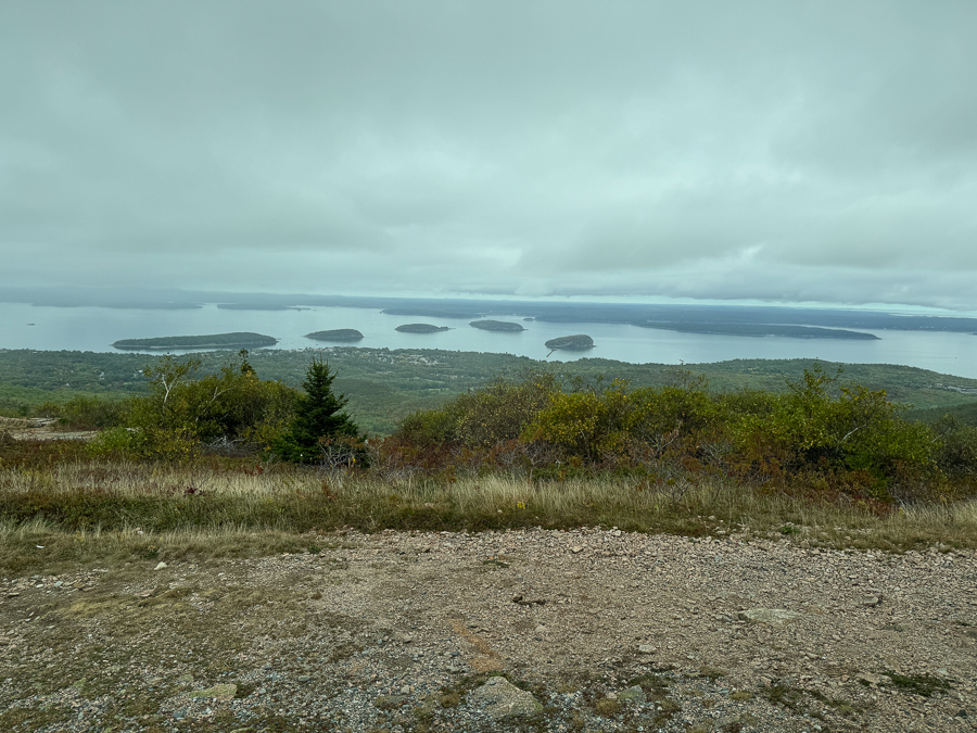
Did You Know? - Cadillac Mountain is named after Antoine de la Mothe Cadillac, a French explorer and adventurer who was given land in the area in 1688:
History The mountain was originally called Green Mountain by Euro-American settlers. In 1918, it was renamed to honor Cadillac, who was given the land by the governor of New France.
Cadillac Cadillac was born in 1658 in Gascony, France. He left France at age 25 to become an expert on the North Atlantic coast. He claimed the title "Antoine de la Mothe Cadillac" to sound more impressive, even though his family was not noble. He established Detroit in 1701 and was also the governor of Louisiana.
Location Cadillac Mountain is in Acadia National Park in Maine. It's the tallest mountain on the east coast of the United States, standing at 1,532 feet (467 meters).
Attractions The mountain is a popular destination for hikers and visitors. Visitors can drive to the top of the mountain on the summit road, or hike to the summit on one of several trails.


Love the flowers!

School was almost out.

We stopped by the hotel to drop off the books and the walked!
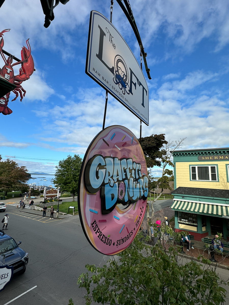
The Loft looked interesting!

When in Maine do as the Mainians do!

After!

Bringing guac top a new level!

The food was beautiful!

I had to have the sushi burrito!
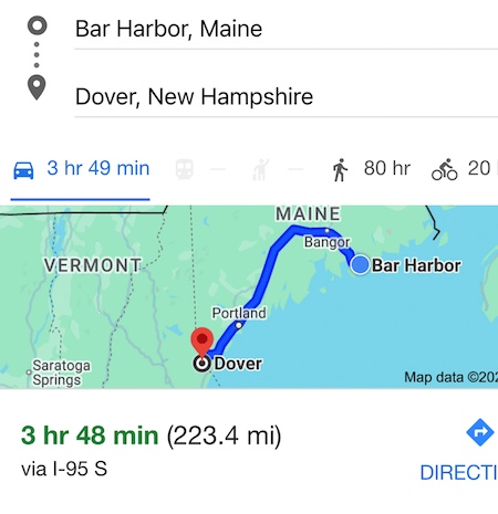
We discussed tomorrows escape plans!

It was magnificent!

It was a short walk! back to the hotel!
