The Pacific Ocean Locks (Day 10 - Page 2)
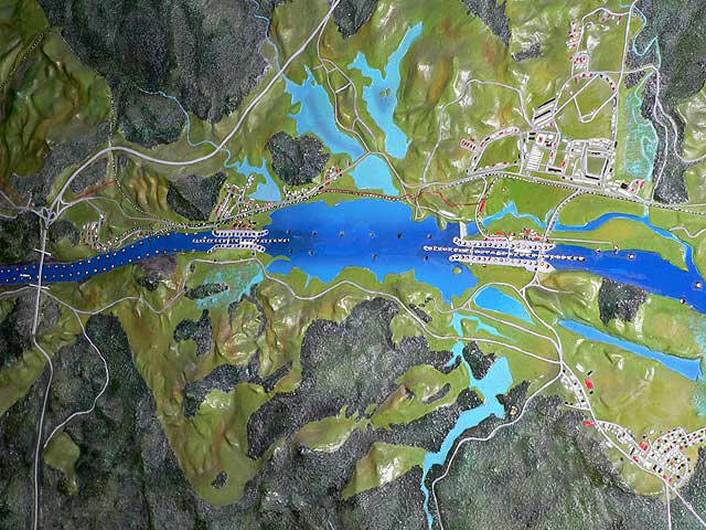
Relief map of the Panama Canal - Miraflores and Pedro Miguel locks plus the new Millennium Bridge. One of the few engineering marvels in the world with its own palindrome, the Panama Canal should be on everyone's list of must-see places. Ninety years after its completion, this link between two great oceans is as vital and vibrant as ever. It is also one of the greatest testaments to good old-fashioned Yankee ingenuity that the world has ever seen.
Travelers have always made their way across the 50-mile isthmus that connects North and South America, dubbed the "Crossroads of the World." But, until the canal was built, the trans-isthmus trek involved a winding path through jungle rivers. In 1880, the French began a canal-building project that after twenty years ended in failure and the death of an estimated 20,000 workers. The U.S. took over in 1903, poured $352 million dollars into the project, and opened the Panama Canal in August of 1914.
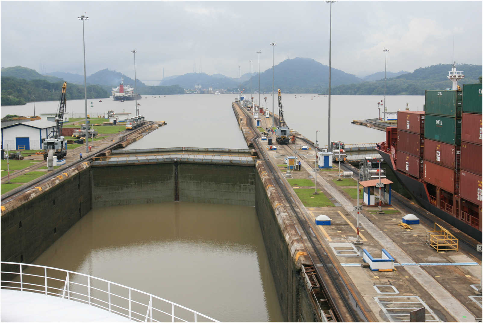
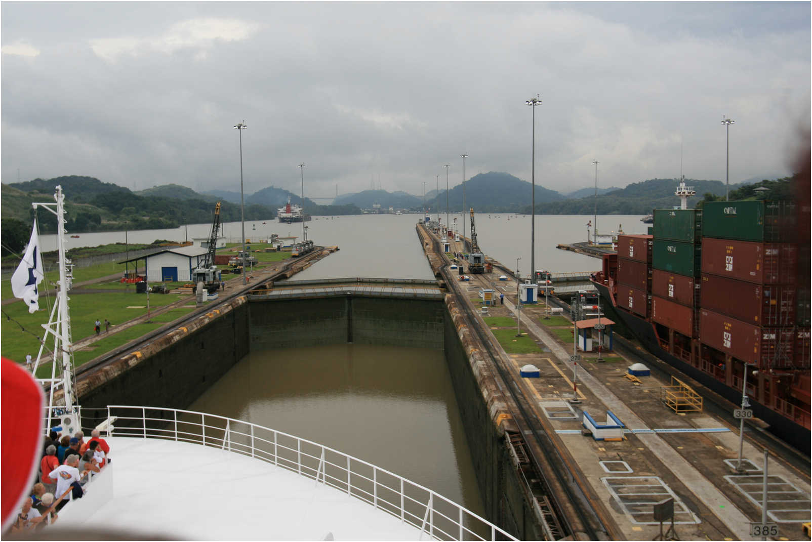
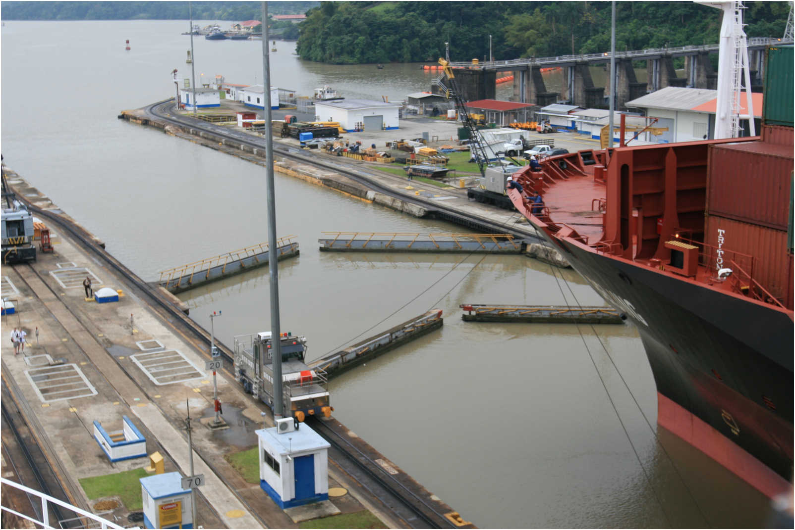
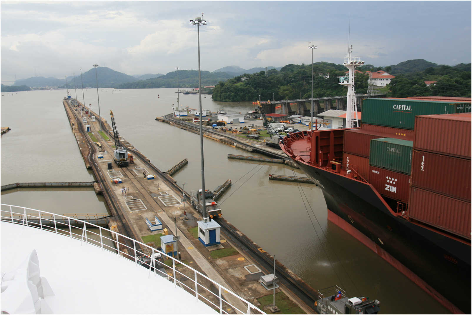
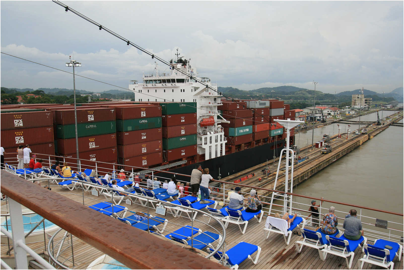
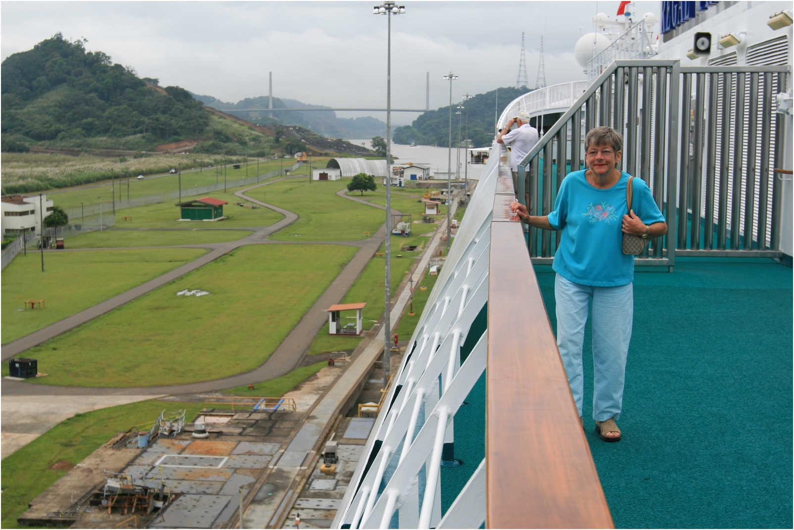
We Continue Through The Mira Flores Locks


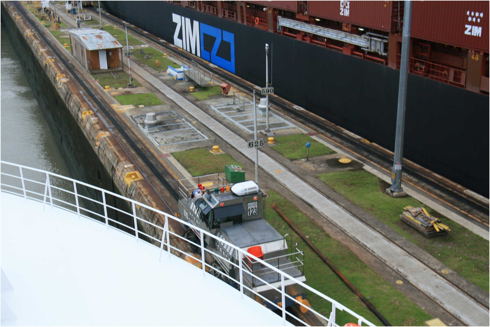


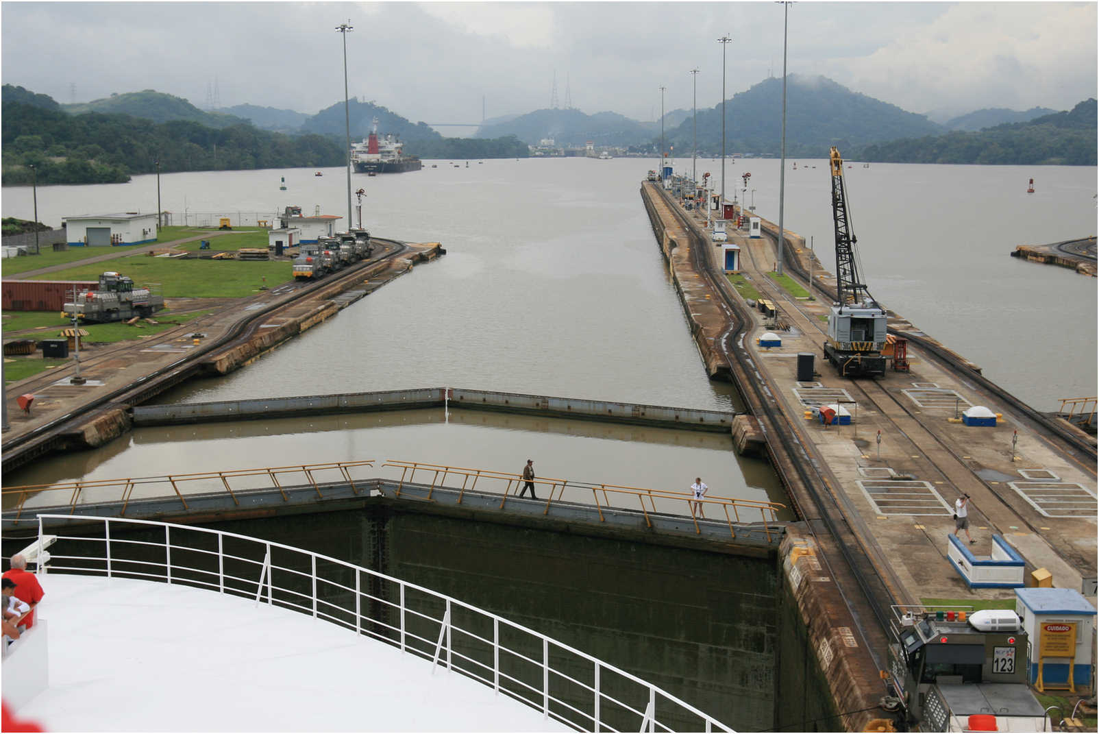
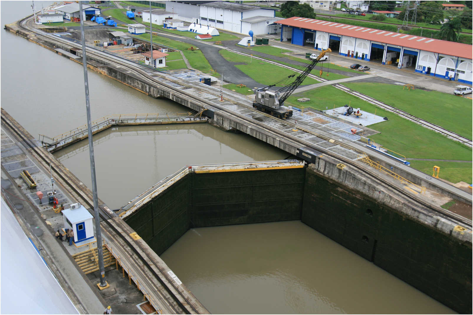
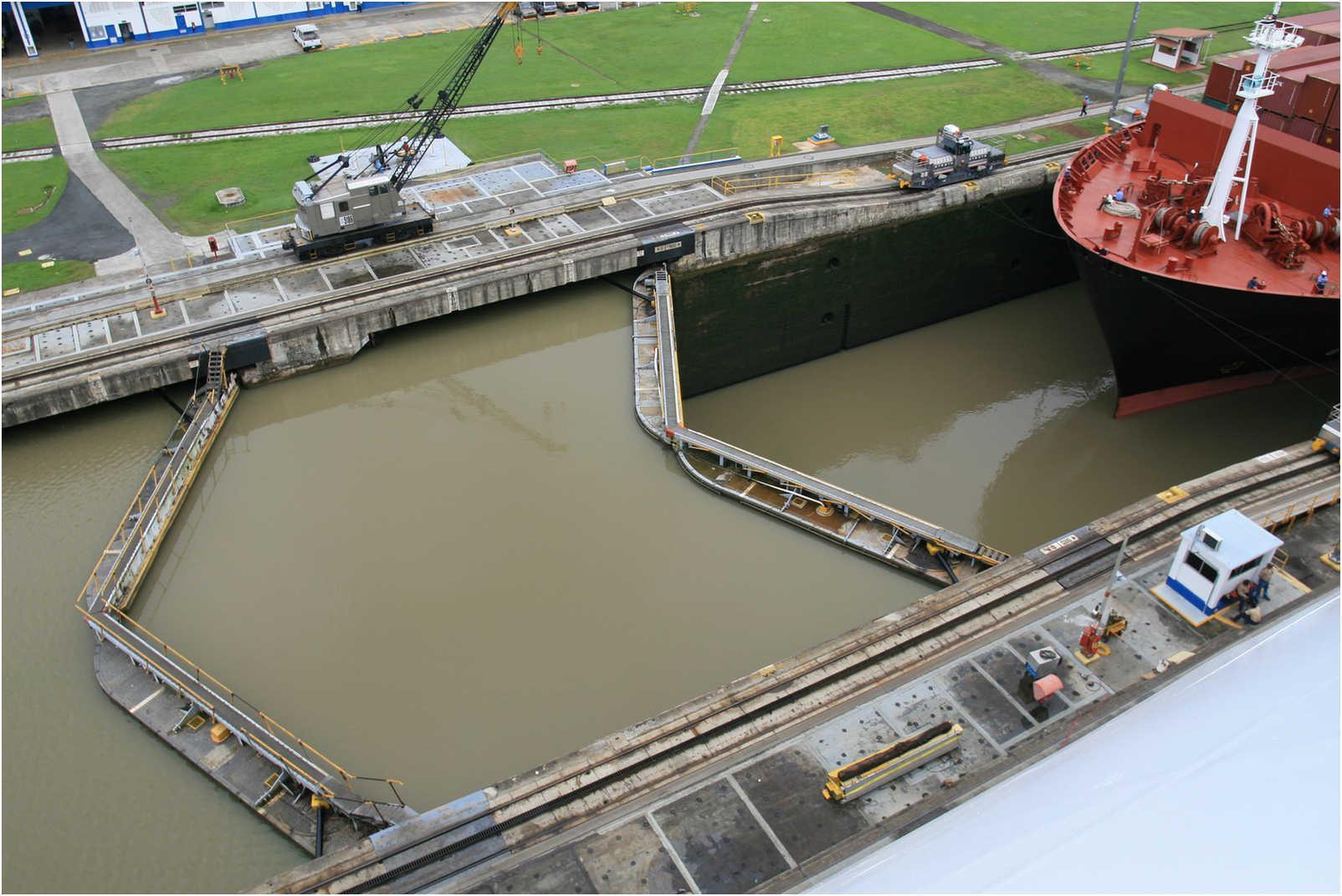
Notice when they close or are "locked" they form a wedge so as to "self-seal" with the pressure from the upper lock!
We Are Exiting The Miraflores Locks On Our Way To Pedro Miguel Locks


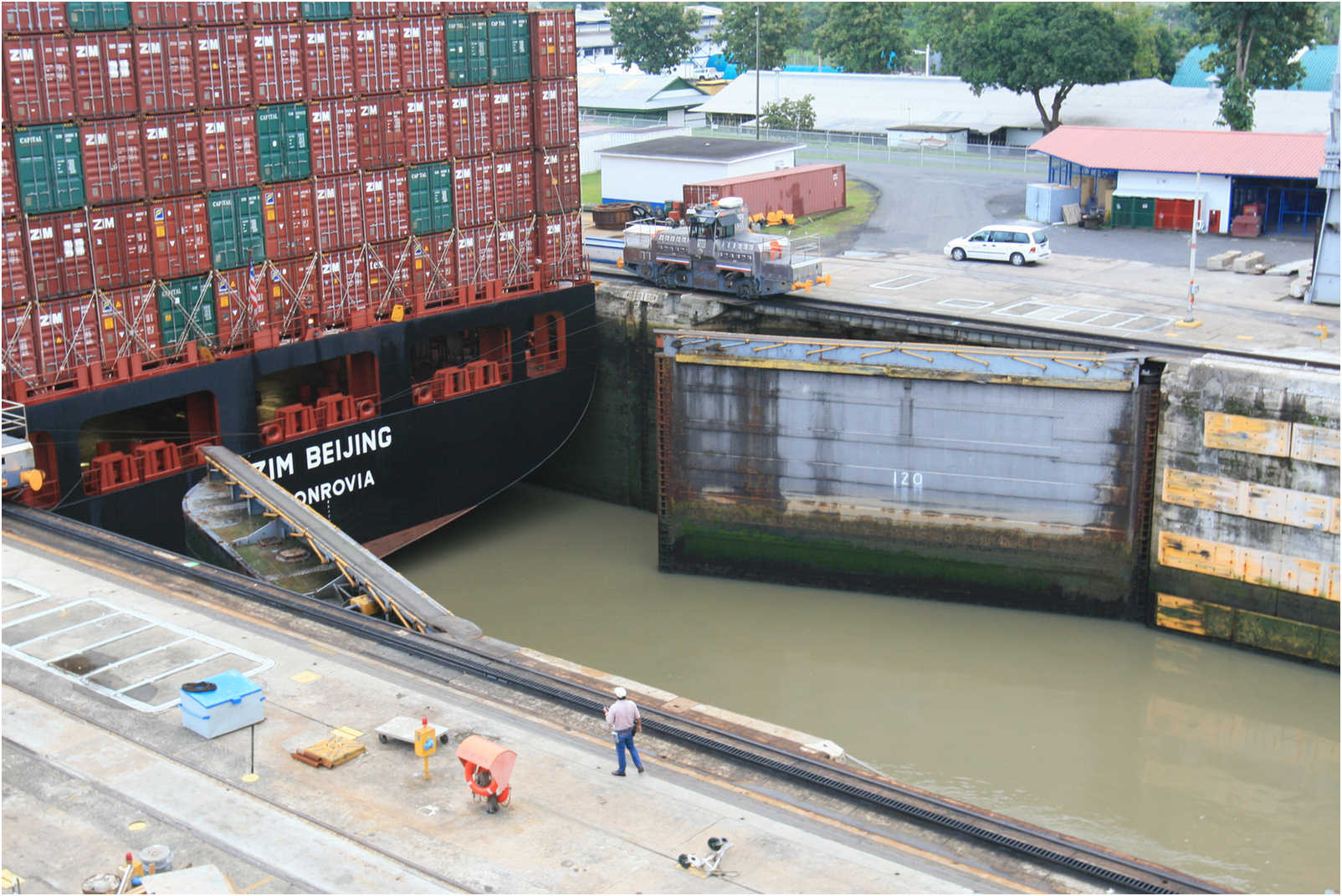
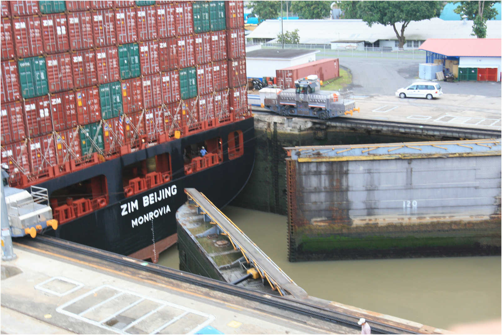
Hydraulic motors open and close the locks in a short time! There are two sets of lock JUST incase a ship would run into and damage the first one the second keeps the lake from draining into the ocean!
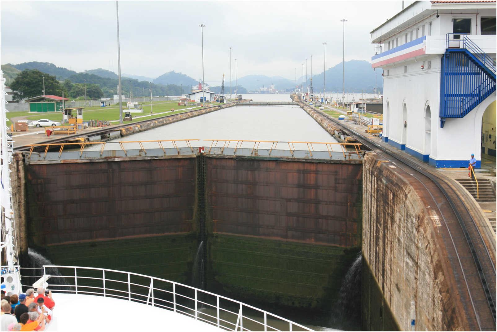
Study The Photos In Time Sequence...


Beginning to open


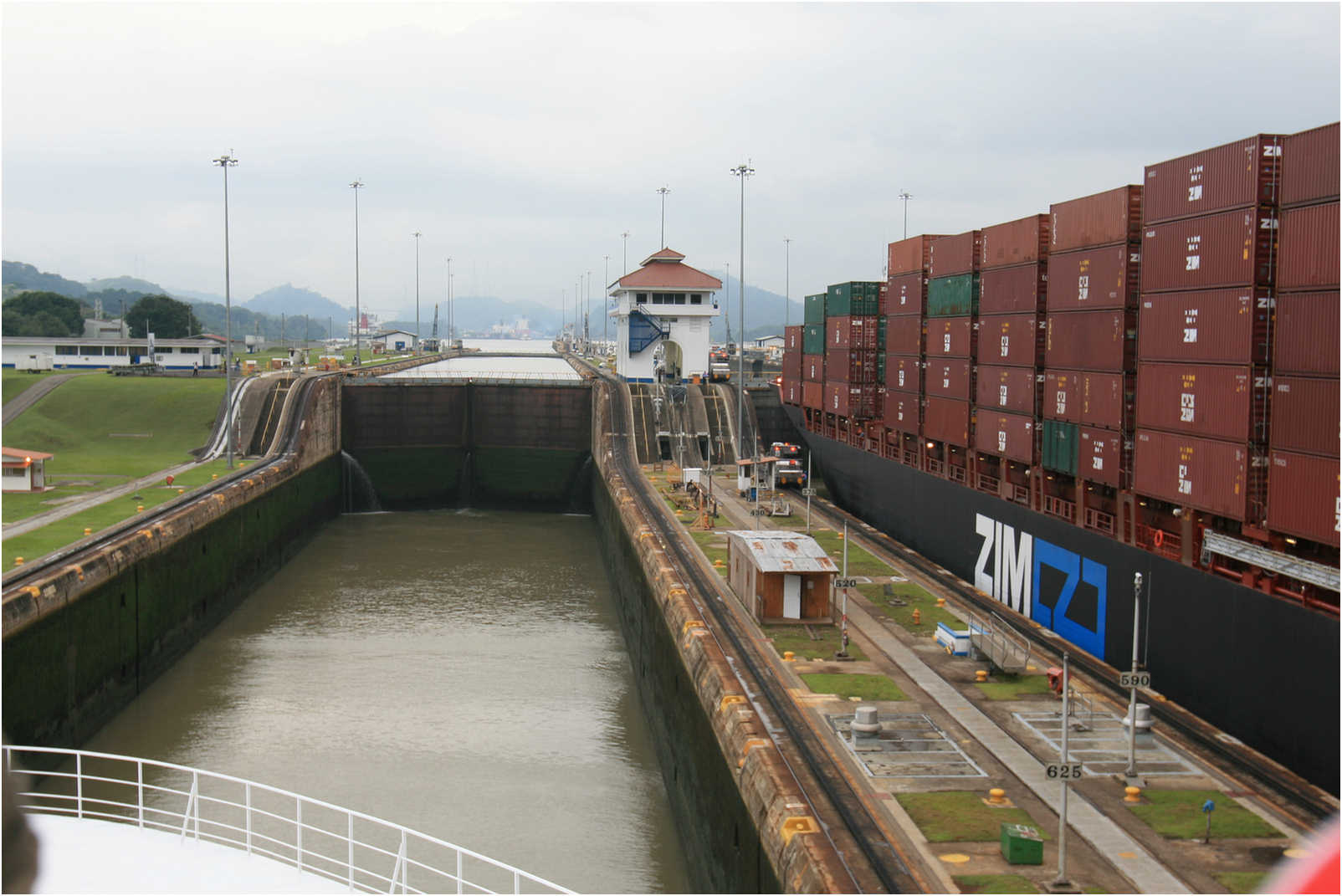
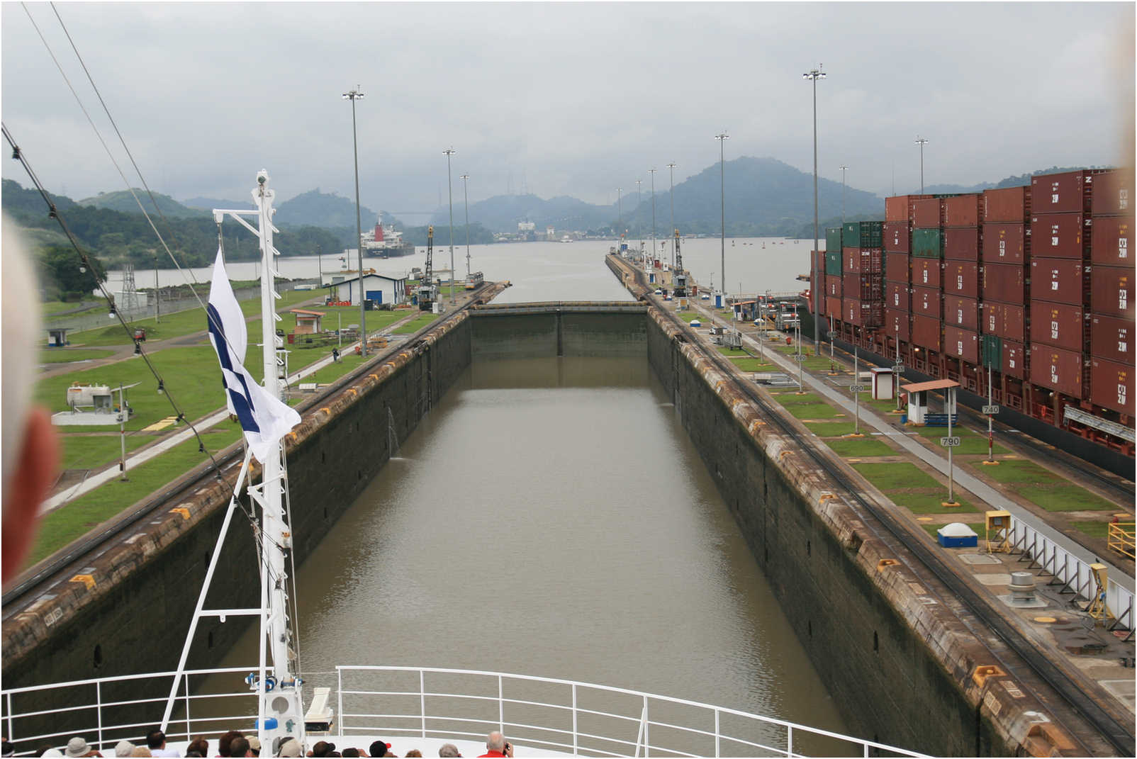
Wide open and we are moving forward!


Note the dual gates in case of a failure! We would not want to drain the entire lake now would we???
Note the depth is even accurate!!!


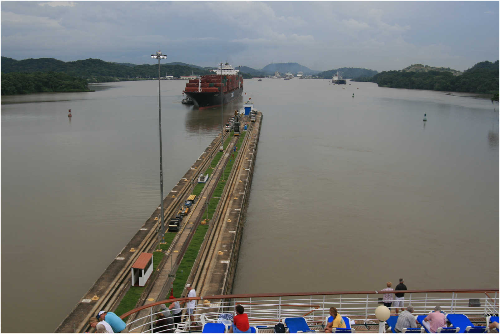


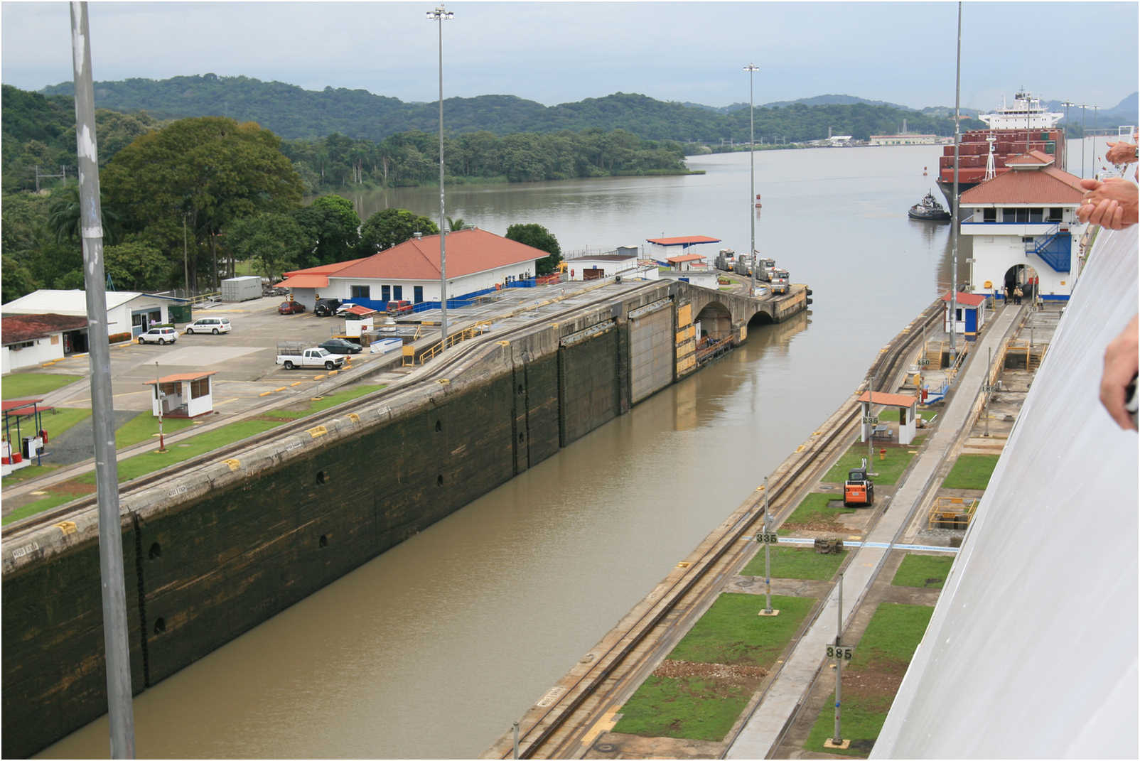


Lock Set #2 - The Pedro Miguel Locks

Pedro Miguel Locks
We have passed the Miraflores Locks and ready to enter the Pedro Miguel locks and then into the canal which was dug to enable the ship to enter Lake Gatun!

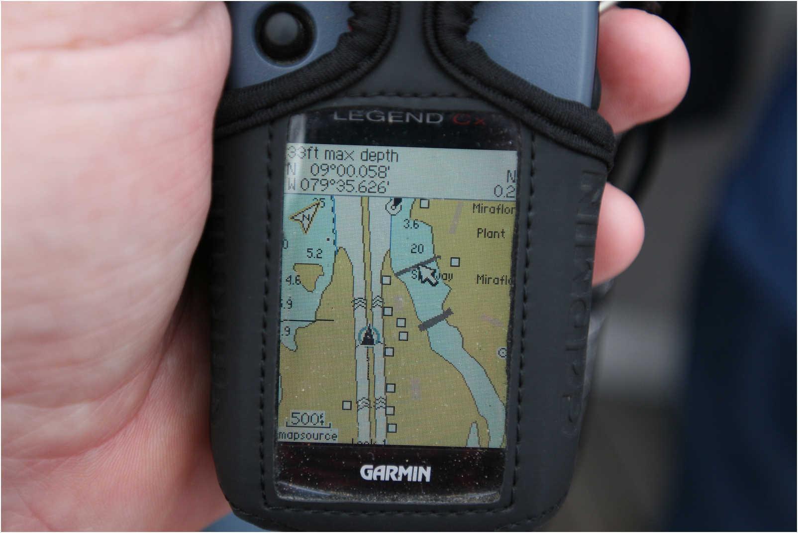
Did You Know? - We are at the entrance to the Pedro Miguel Locks, second set on the Pacific side! GPS is pointing the way to the second set of locks on the Pacific side. Once out the initial locks we have a few miles to sail before entering the second set of locks.
The lake is situated in the valley of the Chagres River. It was formed, and the river widened and deepened, by the construction of the Gatun Dam about 10 km (6 miles) from the river's mouth in the Caribbean Sea in 1907–1913. The geography of the area was ideal for the creation of a large lake here; the hills bordering the valley of the Chagres open up widely around the area of the lake, but come together to form a gap just over 2 km (1.4 miles) wide at the location of the dam.
The damming of the river flooded the originally wooded valley; almost a century later, the stumps of old mahogany trees can still be seen rising from the water, and submerged snags form a hazard for any small vessels that wander off the marked channels. Gatun Lake has an area of 425 km² (164 square miles) at its normal level of 26 m (85 ft) above sea level; it stores 5.2 cubic kilometers (183,000,000,000 ft³) of water, which is about as much as the Chagres River brings down in an average year.
With the creation of the lake many hilltops became islands. The biggest and best known of them is Barro Colorado Island, home of the world famous Smithsonian Tropical Research Institute (STRI). The lake has given its name to the Gatun structure, which may be an eroded impact crater.
Relief map of the Panama Canal - Miraflores and Pedro Miguel locks plus the new Millennium Bridge.
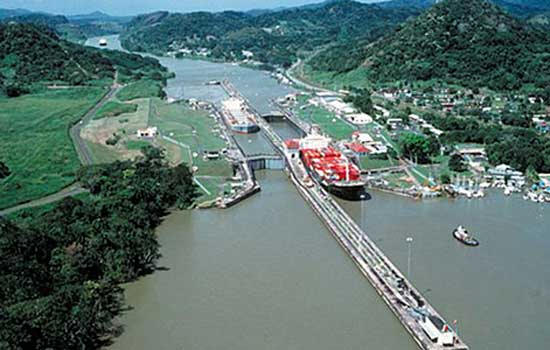
Aerial view of the Pedro Miguel Locks of the Panama Canal.
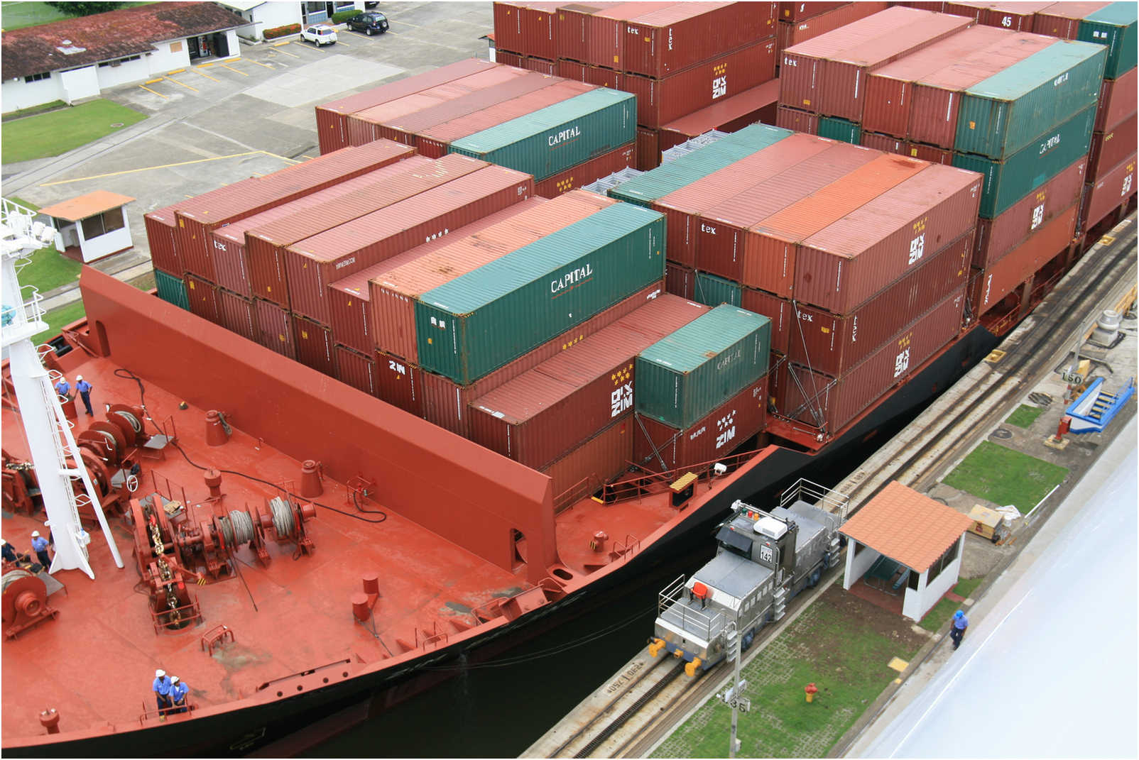
In the forefront a container ship exits the locks onto Miraflores Lake, near the Pacific entrance of the canal.
In the background a ship navigates the Gaillard Cut through the Continental Divide.