Lanai From 100 Miles Up In The Sky!
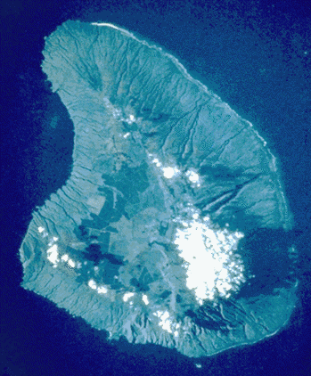
See Lanai from100 miles up in the sky... It is the "Dry Island"!
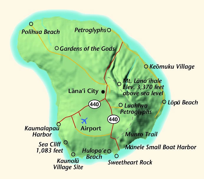
Lānai is the sixth-largest of the Hawaiian Islands. It is also known as the Pineapple Island because of its past as an island-wide pineapple plantation. The only town is Lānai City, a small settlement.
The island is somewhat comma-shaped, with a width of 18 miles in the longest direction.
The land area is 140.5 square miles (364 km²), making it the 42nd largest island in the United States. It is separated from the island of Molokai by the Kalohi Channel to the north, and from Maui by the Auau Channel to the east.
The United States Census Bureau defines Lānai as Census Tract 316 of Maui County. Its total population was 3,193 as of the 2000 census.
Many of the islands landmarks and sites are located off of dirt roads where four wheel drive is required.
In The Shadows
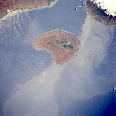
Lanai, located west of Maui and south of Molokai, is separated by the Auau and Kalohi Channels, respectively. Volcanic in origin, Lanai's highest elevation [4714 feet (1437 meters)] is near the north-central part of the island.
Island wakes trail to the southwest of Lanai and on the leeward side of Maui. Scientists are interested in mapping the turbulent areas on the leeward side of the islands to help document processes by which energy is transported downstream from these and other islands.
The extensive use of Lanai for the development of the pineapple industry during the mid-1900s has recently been replaced by resort development.
This photo was taken on the STS-65 (Space Shuttle) mission in July of 1994