Time For Some Time Off! Mary Heads To The Panama Canal!
It has been called "the big ditch," "the bridge between two continents," "the greatest shortcut in the world." When it was finally completed in 1914, the 51-mile waterway shaved nearly 8,000 miles off the distance between New York and San Francisco and changed the face of the industrialized world. In 1882, the Frenchman Ferdinand de Lesseps with a labor force of 10,000 men set out to blast his way through the jungles of Colombia.
The project ended seven years later in disease, bankruptcy and disaster, and it is President Theodore Roosevelt who is largely credited with the completion of the Canal. Still, much of the credit belongs to this masterful visionary who convinced a skeptical world to attempt the impossible. But while the history of the Panama Canal is fascinating, it is the natural beauty that surprises most of all - an ever-changing panorama of jungle-clad hills, shimmering Lake Gatún, the high-arched span of the Americas Bridge and the intricate workings of the locks and gates, themselves.

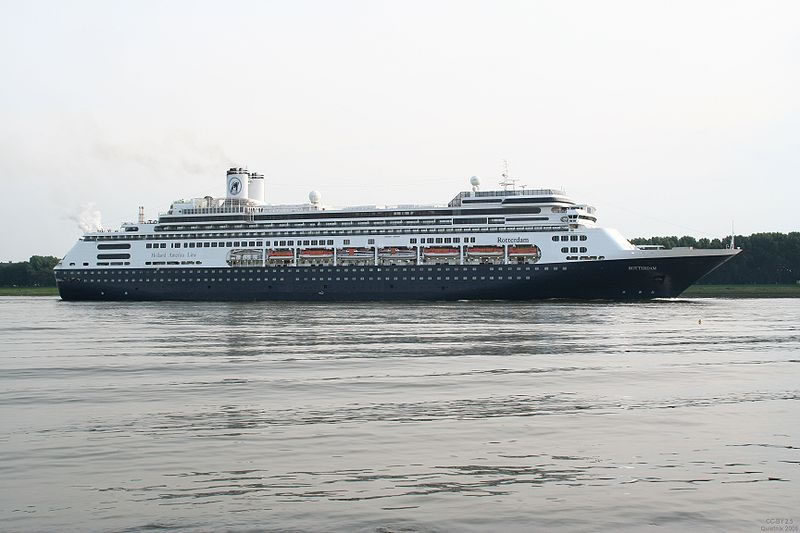
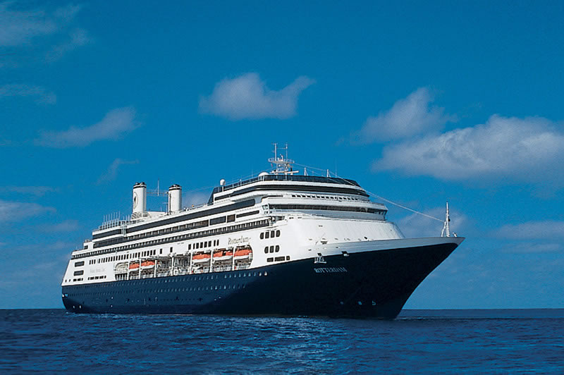
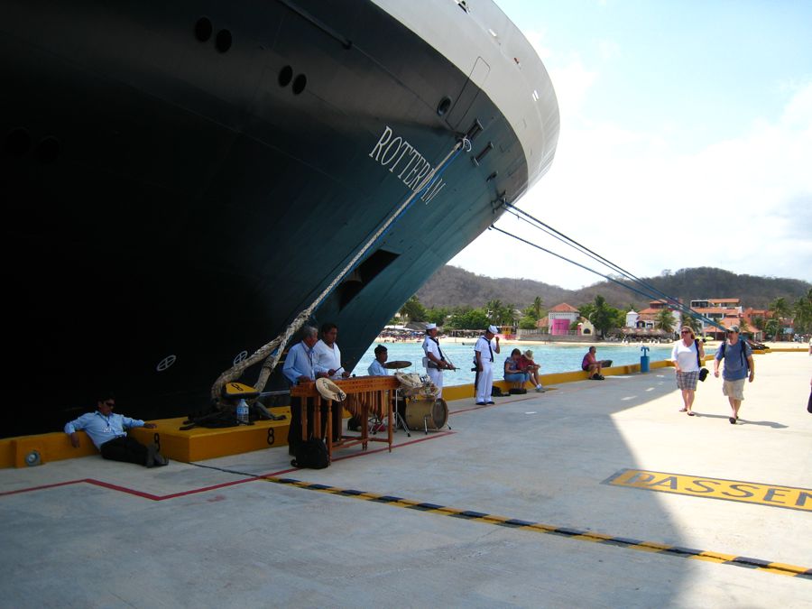
Holland America ms Rotterdam
Sailing sailing over the bounding main
Did You Know? - MS Rotterdam is a cruise ship, the sixth Holland America Line vessel to bear the name, and is one of the two Atlantic flagships of the fleet. Built in Italy in 1997, Rotterdam features fine art and antiques, an internet center, and a spa and fitness center. She is named for the SS Rotterdam of 1959 and the Rotterdam and her sister ship Amsterdam are loosely based on the original ship. Also, the Amsterdam and the Rotterdam are the co-flagships of Holland America Line.

Let's Get Under Way Starting At San Diego
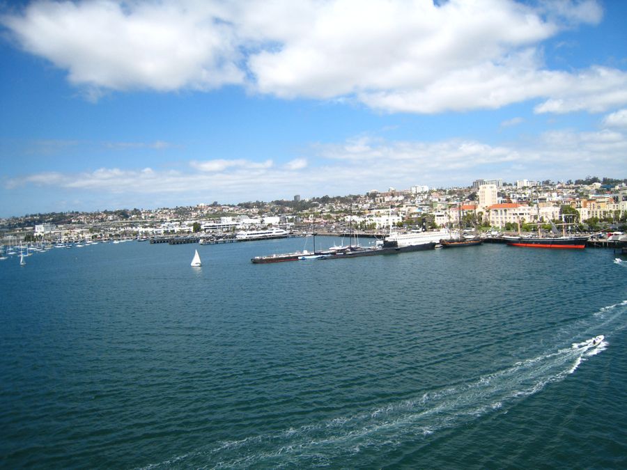
View of San Diego Harbor from the ship
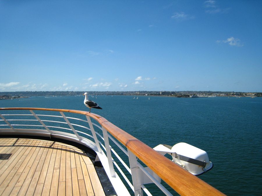
No Mr. Bird, you may NOT go along with us
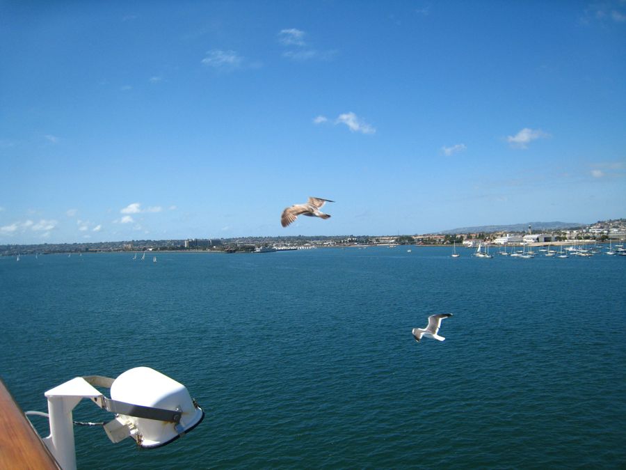
Birds everywhere...
Did You Know? - Most gulls, particularly Larus species, are ground nesting carnivores, which will take live food or scavenge opportunistically. Live food often includes crabs and small fish. Gulls have prophylactic unhinging jaws which allow them to consume large prey. Apart from the kittiwakes, gulls are typically coastal or inland species, rarely venturing far out to sea.[citation needed] The large species take up to four years to attain full adult plumage, but two years is typical for small gulls. Large White-Headed Gulls are typically long-lived birds, with a maximum age of 49 years recorded for the Herring Gull.

San Diego was beautiful this April 4th day

San Diego Bay from a satellite
Did You Know? - San Diego Bay is a natural harbor and deepwater port adjacent to San Diego, California. It is 12 mi/19 km long, 1 mi/1.6 km–3 mi/4.8 km wide. The bay is surrounded by the large San Diego urban area and is bordered by the cities of San Diego, National City, Chula Vista, Imperial Beach and Coronado.
Considered to be one of the best natural harbors on the western coasts of the North American continent, San Diego Bay was among the earliest portions of those coasts to be settled by Europeans; it was colonized by Spain beginning in 1769. Later it served, and continues to serve to this day, as the home of the United States Navy's Pacific Fleet.
You would never guess what this is?
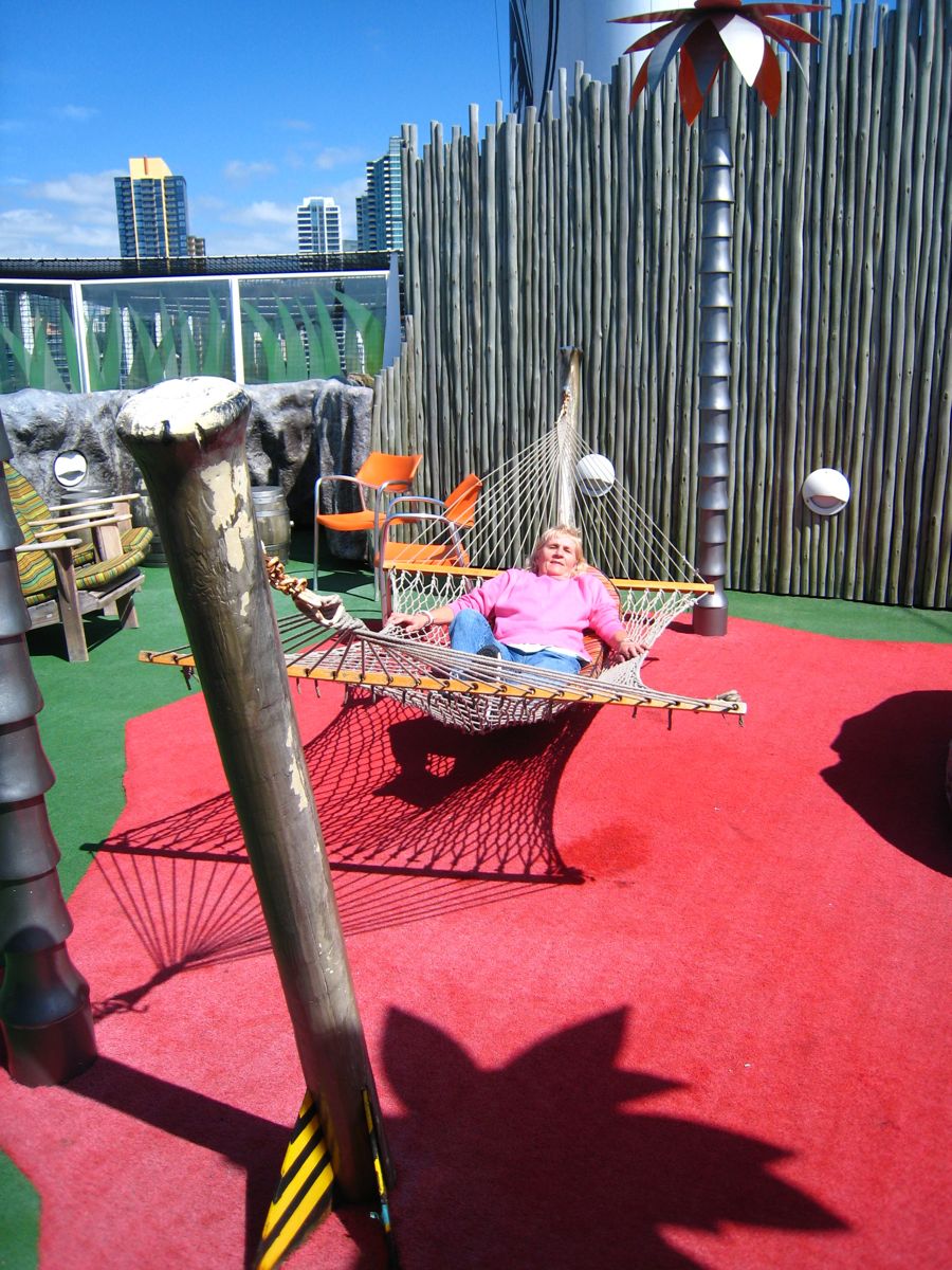
Hammock time for Mary... Z-z-z-z-z-z-z
Did You Know? - Spanish colonists noted the use of the hammock by Native Americans, particularly in the West Indies, at the time of the Spanish conquest. The word comes from a Taíno culture Arawakan word (Haiti) meaning "fish net". Early hammocks were woven out of bark from a hamack tree, and later this material was replaced by sisal fibers because it was more abundant.
One of the reasons that hammocks became popular in Central and South America was their ability to provide safety from disease transmission, insect stings, or animal bites. By suspending their beds above ground, inhabitants were better protected from snakes, biting ants, and other harmful creatures.
Hammocks were introduced to Europe by Christopher Columbus[citation needed] when he brought several of them back to Spain from islands in the present day Bahamas.

April 4th & 5th Were Days At Sea... Time To Relax

Off the coast of Mexico April 4th

Mary is on vacation
April 5th the sea was calm

The ships auto-navigator also tells time
Powered by mice
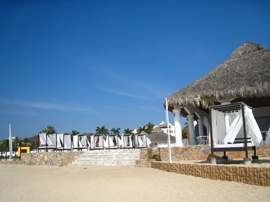
First Port: Puerto Vallarta, Mexico

We left home two days ago
Did You Know? - Puerto Vallarta (Spanish pronunciation: [ˈpwerto βaˈʎarta]) is a Mexican balneario resort city situated on the Pacific Ocean's Bahía de Banderas. The 2010 census reported Puerto Vallarta's population as 255,725 making it the sixth-largest city in the state of Jalisco.
The City of Puerto Vallarta is the government seat of the Municipality of Puerto Vallarta which comprises the city as well as population centers outside of the city extending from Boca de Tomatlán to the Nayarit border (the Ameca River).
The city is located at 20°40′N 105°16′W / 20.667°N 105.267°W / 20.667; -105.267. The municipality has an area of 502.19 square miles (1,300.67 km²). To the North it borders the SW part of the state of Nayarit. To the east it borders the municipality of Mascota and San Sebastián del Oeste, and to the South it borders the municipalities of Talpa de Allende and Cabo Corriente.
Puerto Vallarta is named after Ignacio Vallarta, a former governor of Jalisco. In Spanish, Puerto Vallarta is often shortened to "Vallarta", while English speakers call the city P.V. for short.

Aerial view of marina, cruise ship terminal and town of Puerto Vallarta, Jalisco - Mexico
Did You Know? - Nearly 50% of the workforce in Puerto Vallarta is employed in tourist related industries: hotels, restaurants, personal services, and transportation.

We had company in Puerto Vallarta... NCL was in port

He followed us from San Diego

I am in the picture... See my shadow on the left?

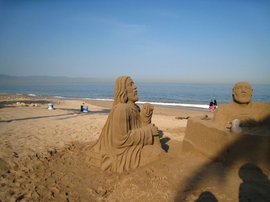
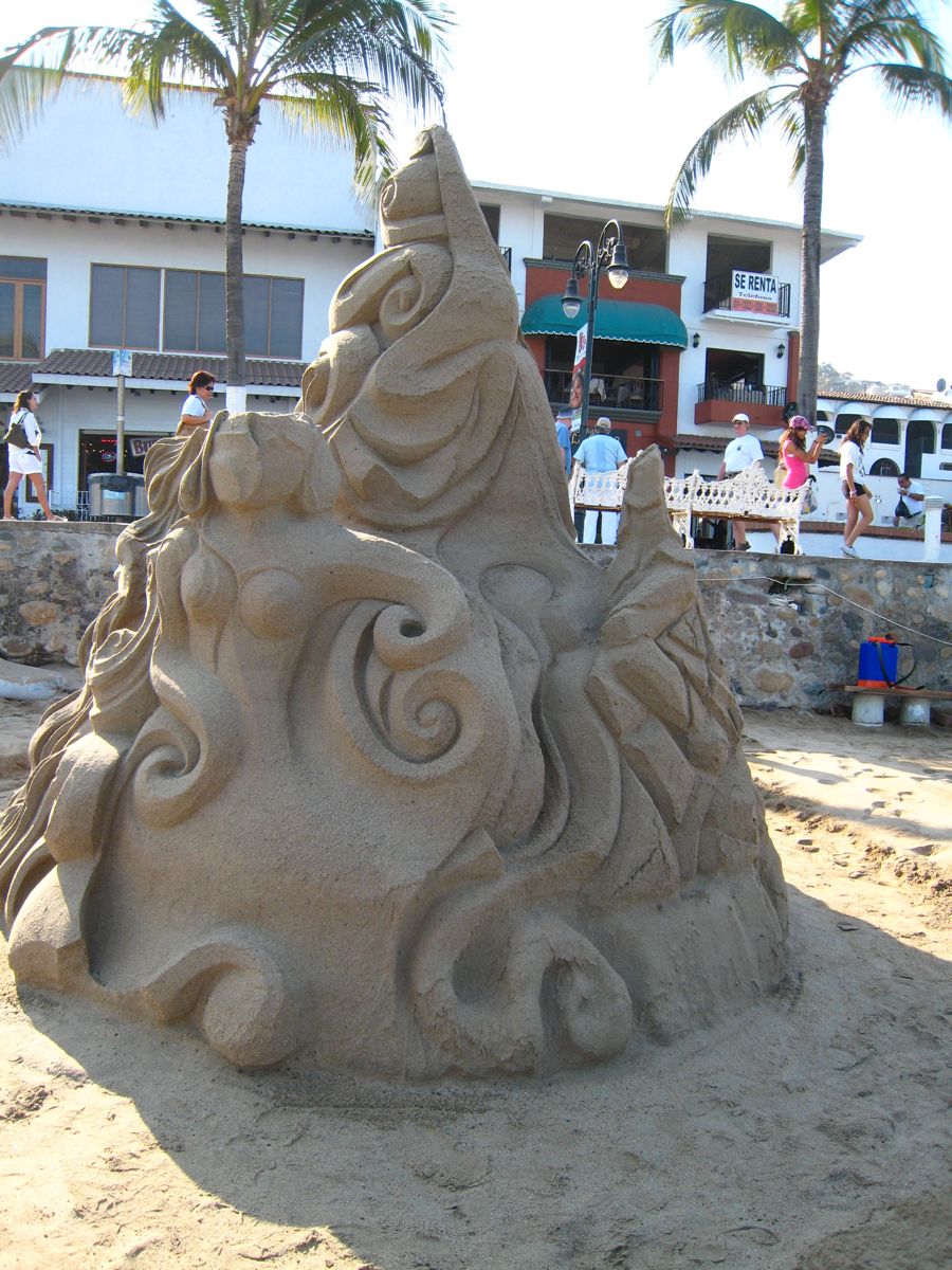
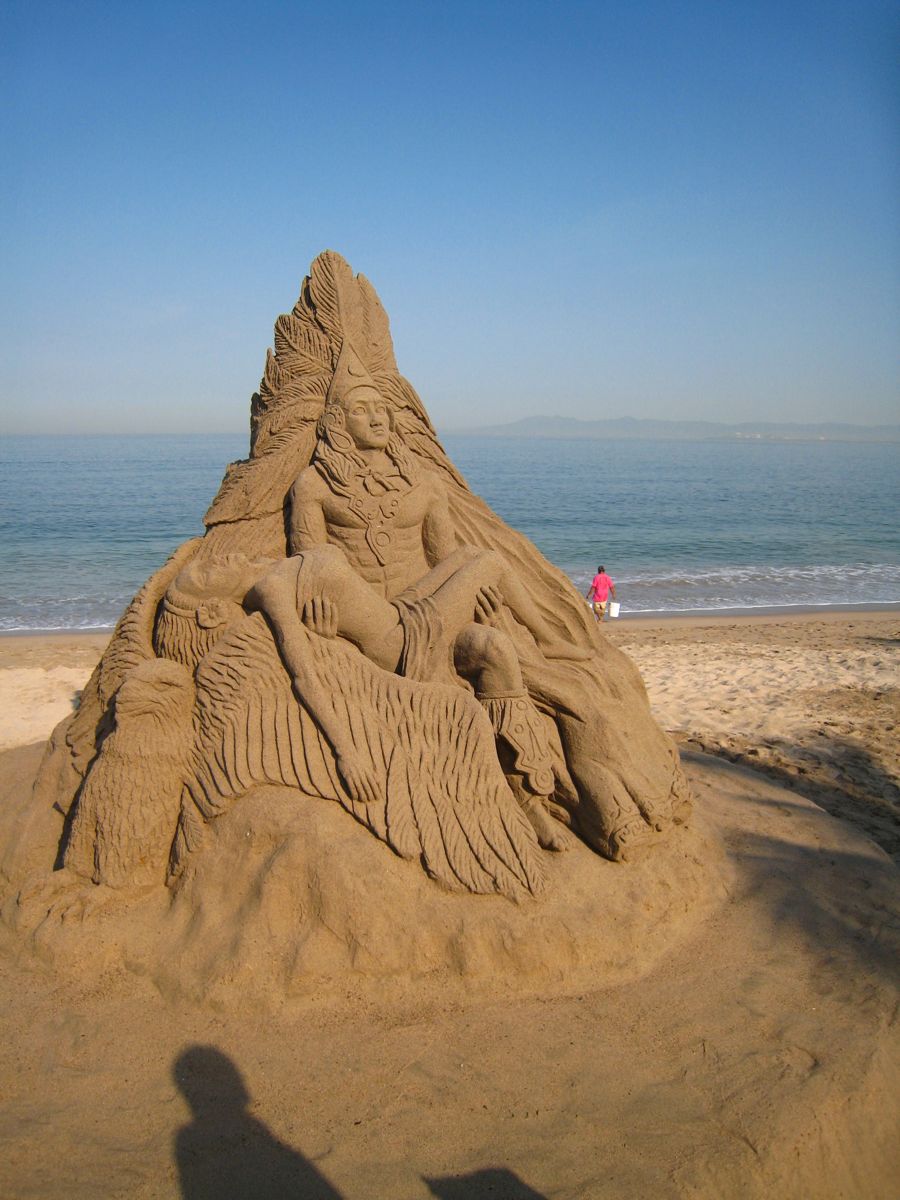
San Castle construction is underway
Did You Know? - Sand art is the practice of modelling sand into an artistic form, such as a sand brushing, sand sculpture, sand painting, or sand bottles. A sand castle is a type of sand sculpture resembling a miniature building, often a castle.


Translation: Bienvenidos A Vallaarta
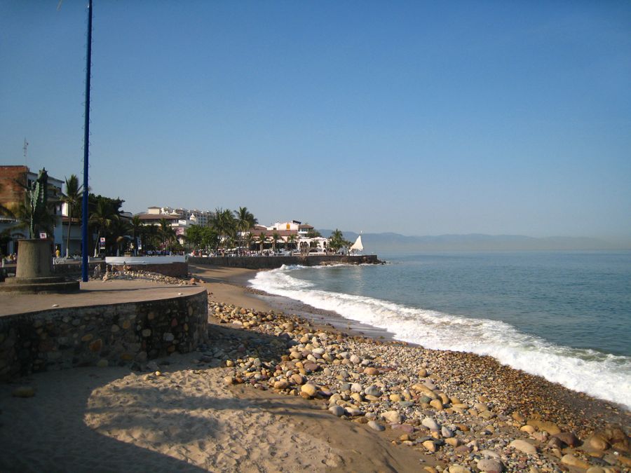
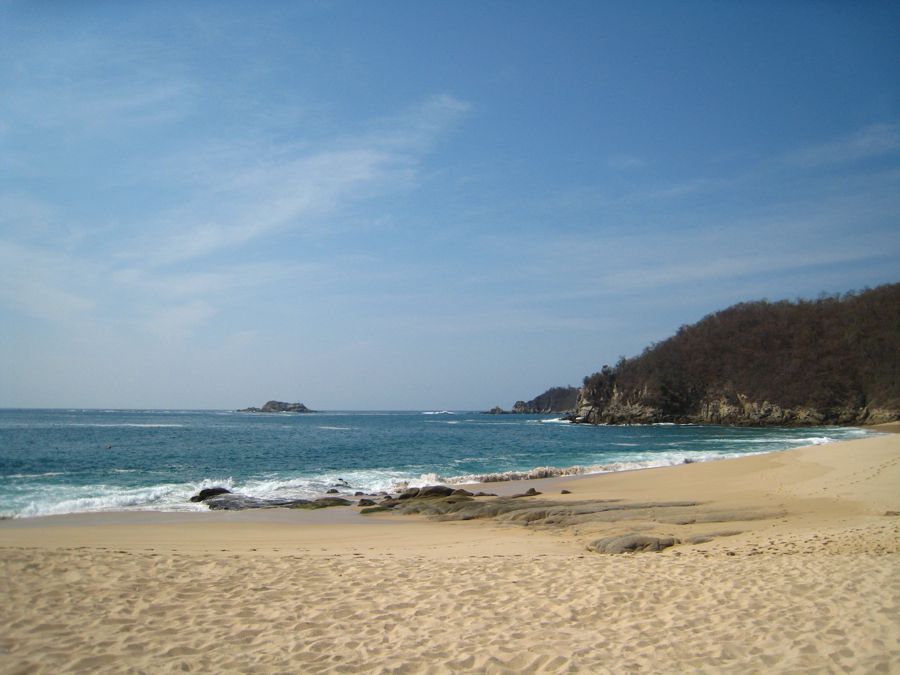
The beach was a tad rocky on some places but very pretty

It looked like pole sitting at first and then....

... they started down the pole, the hard way
Mary is in line to also try the fun pole activity

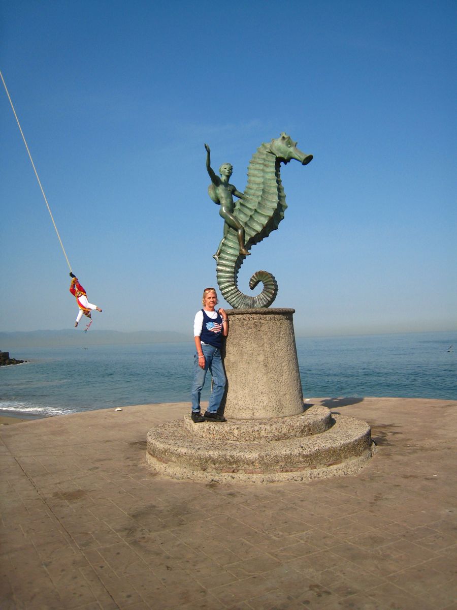
Mary describes a "Sea Horse"

Ouch is a definite possibility
The famous "Rock People" of Puerto Vallarta
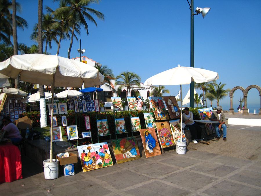
Art was on display for the tourists
Did You Know? - Puerto Vallarta was once named as La ciudad más amigable del mundo (The Friendliest City in the World), as the sign reads when entering from Nayarit. Today, the presence of numerous sidewalk touts selling time-shares and tequila render the city's atmosphere more akin to tourist-heavy resorts like Cancun and Acapulco, but overall the city's reputation remains relatively undiminished.

Juliet and Romeo... South of the border

Mary gets held up with a glass gun?

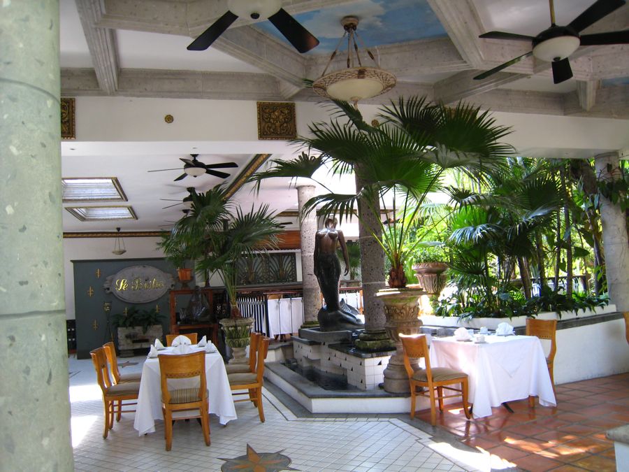
The indoor-outdoor restaurants were pretty
Local food specialities:
- Huachinango Sarandeado - red snapper marinated in a
birria
paste (roast peppers, garlic and spices) and grilled.
- Grilled
Marlin
- served on the beaches and at some taco stands - the meat is skewered and cooked over coals then served with hot sauce and lime.
- Ceviche - raw fish, scallops, or shrimp, with onions, chiles such as serranos or jalepenos, and lime juice. The lime juice cures the fish, turning the flesh opaque and giving it a chewy texture. The ceviche is usually served with tortilla chips or on a whole tostada, and quite frequently accompanied by guacamole.


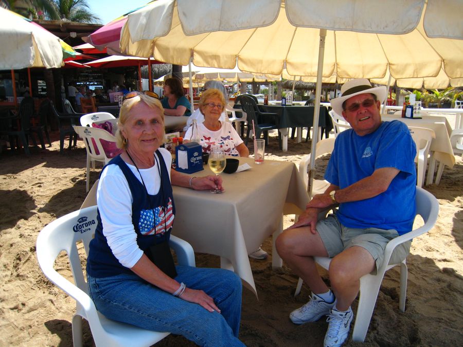
A little toddy for the body?

Back To The Ship Jeeves...

Hope we can find our way back to the ship

Back on board.. Ready for another day at sea to recuperate from Puerto Vallarta
Party time is any time!

Mary heads for dinner... We have sea-food surprise

Food

April 7th We Go From Puerto Vallarta To Huatulco Mexico
The seas were delightful and the drinks MAGNIFICENT
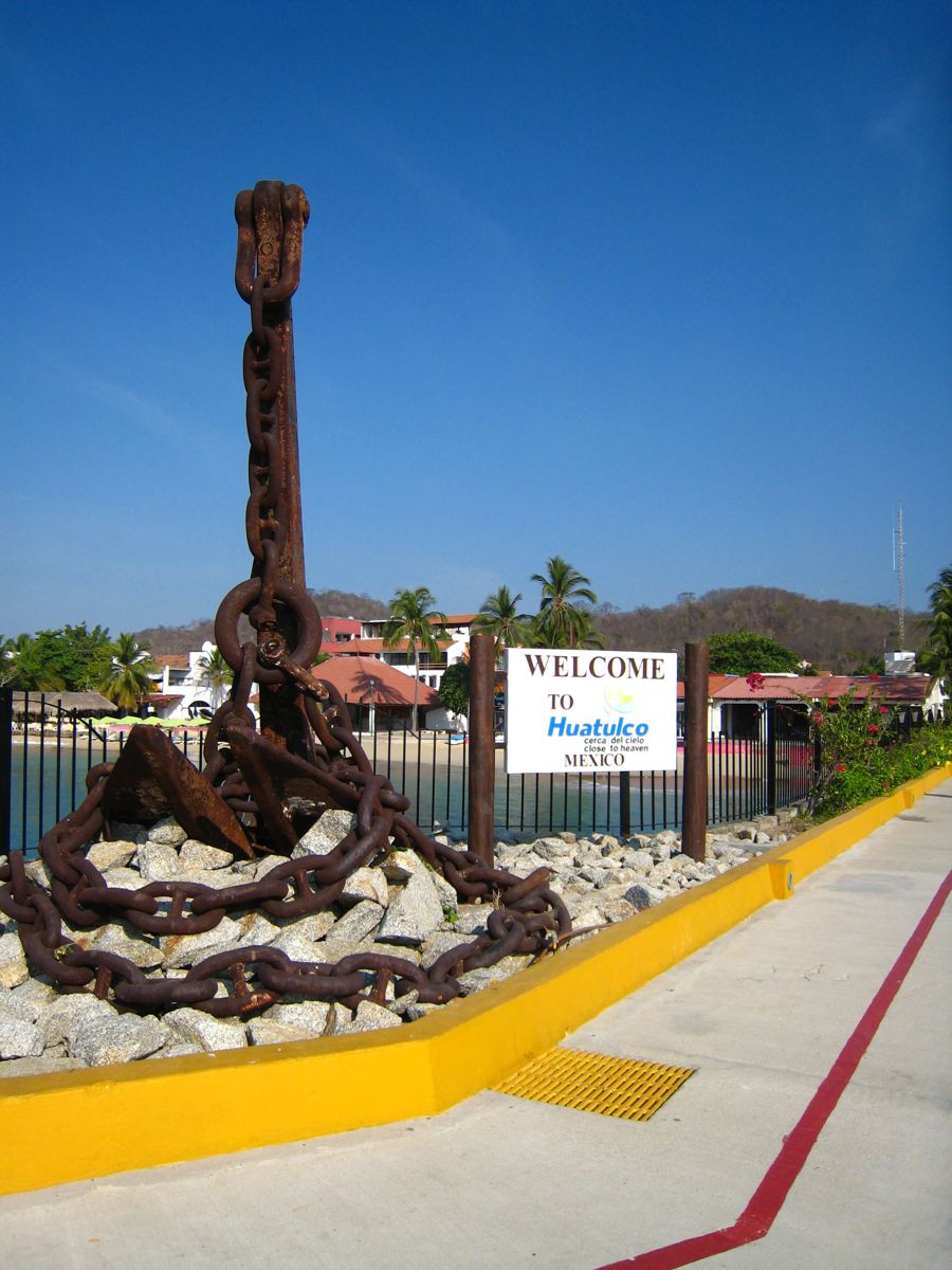
April 8th, We Discover Huatulco Mexico

We have been moving South for days now...
Did You Know? - Huatulco (pronounced wah-TOOL-co) ("Bahías de Huatulco"), centered on the town of La Crucecita, is a tourist development in Mexico. It is located on the Pacific coast in the state of Oaxaca. Huatulco's tourism industry is centered on its nine bays thus the name Bahias de Huatulco but has since been unofficially shortened to simply Huatulco.
Legends say the Toltecs and Quetzalcoatl came from this area. Quetzacoátl, according to a later legend, set an enormous and indestructible cross, which has never been found. Various people have passed through this area, including the Chatmos, the Zapotecs and the Mexicas.
After the Spanish Conquest, Huatulco[2] thrived as a port under Hernán Cortés' control serving as a vantage point for Spanish galleons and a distribution centre for supplies on the Pacific coast. The latter half of the 16th Century saw Huatulco attacked by Francis Drake and Thomas Cavendish - both of whom left their prints on the region's history and legends that continue to this day.
Sunshine can be expected about 330 days a year with the average temperature of 28 °C (82.4 °F). The dry season extends from December to May and the rainy season is from June to November. The amount of precipitation has a definite effect on the local vegetation, being brownish in the dry season and very green in the rainy season.

The cities "Official Greeter"... Miss Mary


Great port... You can walk right off the ship
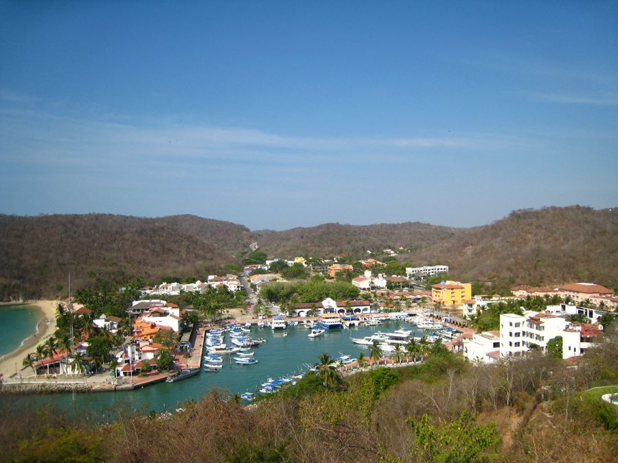
Nice walk into town

Mary fell in love with this sign... She knows where she is!
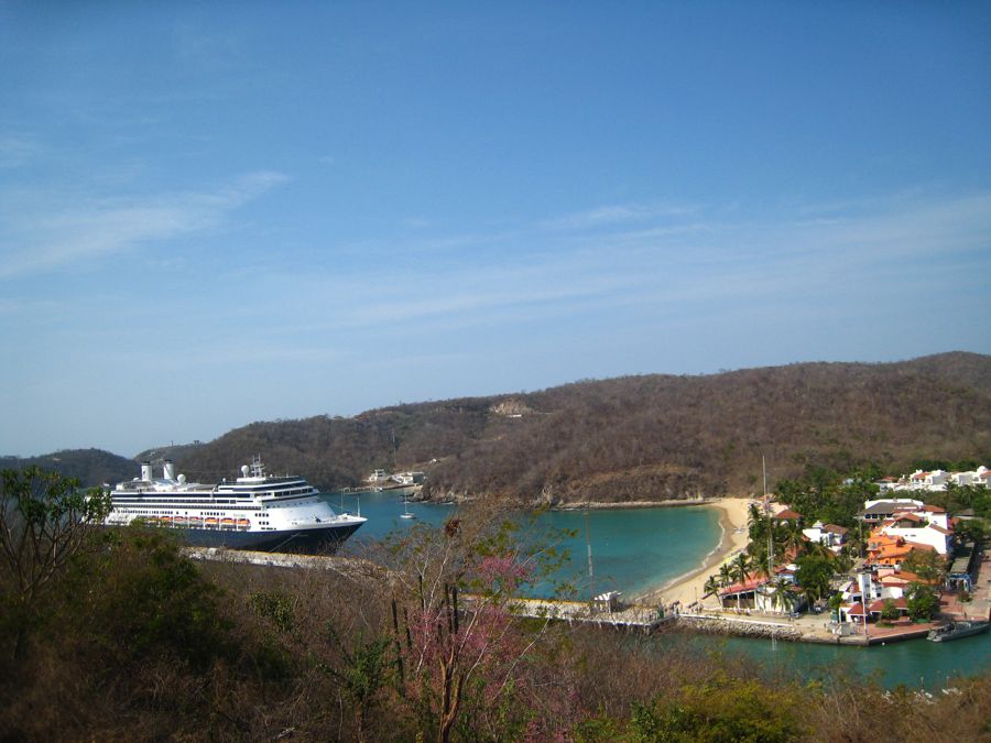
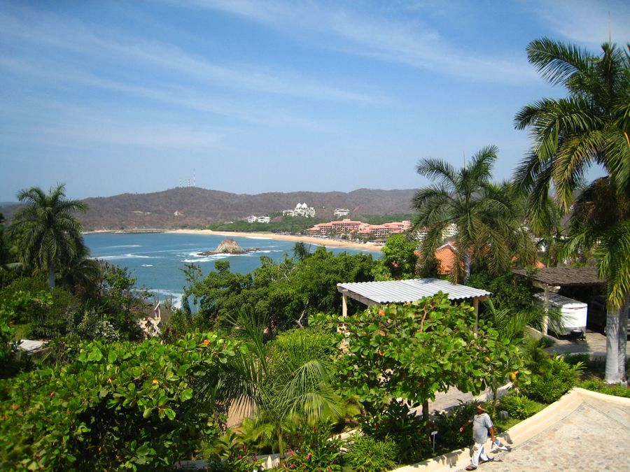
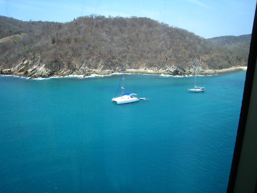
The bay is beautiful but we did have to back our way out!
Did You Know? - About 80% of all tourism in Bahias de Huatulco is domestic in nature. Only about 20% of Huatulco's tourism is foreign, mainly because international air access is limited. Bahias de Huatulco has a small international airport just 20 minutes from the main resorts in Tangolunda Bay. The peak season for foreign tourism is typically from December through April.
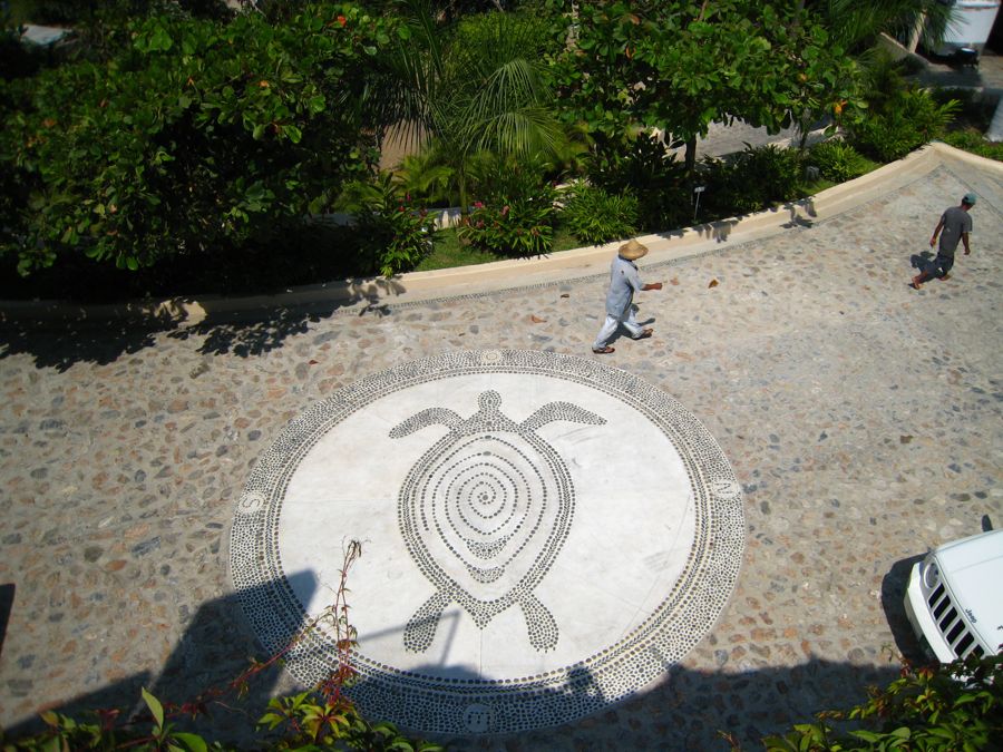
A little bus ride reveals the city below

Definitely tropical

Beautiful beaches
Cabana's on the beach
Did You Know? - A cabana is a temporary or permanent free standing shade structure with traversing curtains, decorative drapes and/or solid walls.

She posted these signs all over
The water was warm even in April

Great views from the homes on the bay
OK... now this is living
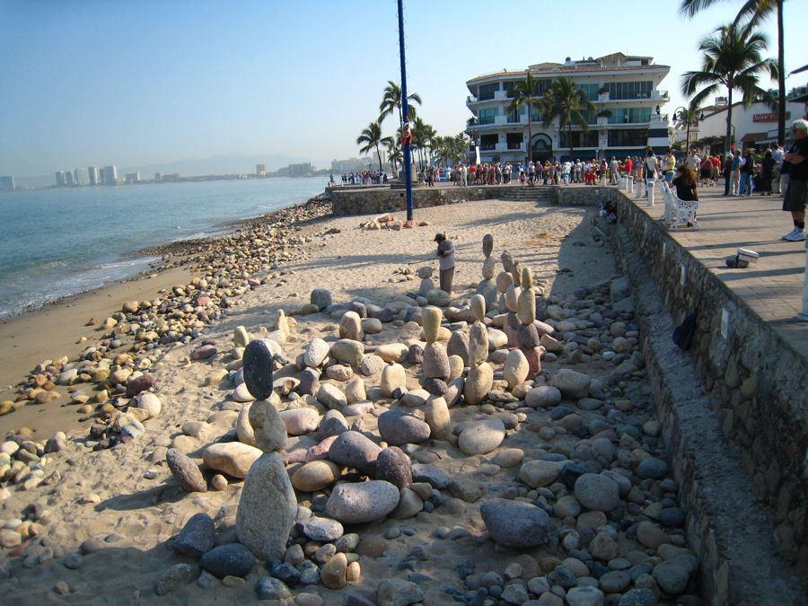
What to do with an excessive number of pebbles

The city is in a long narrow valley

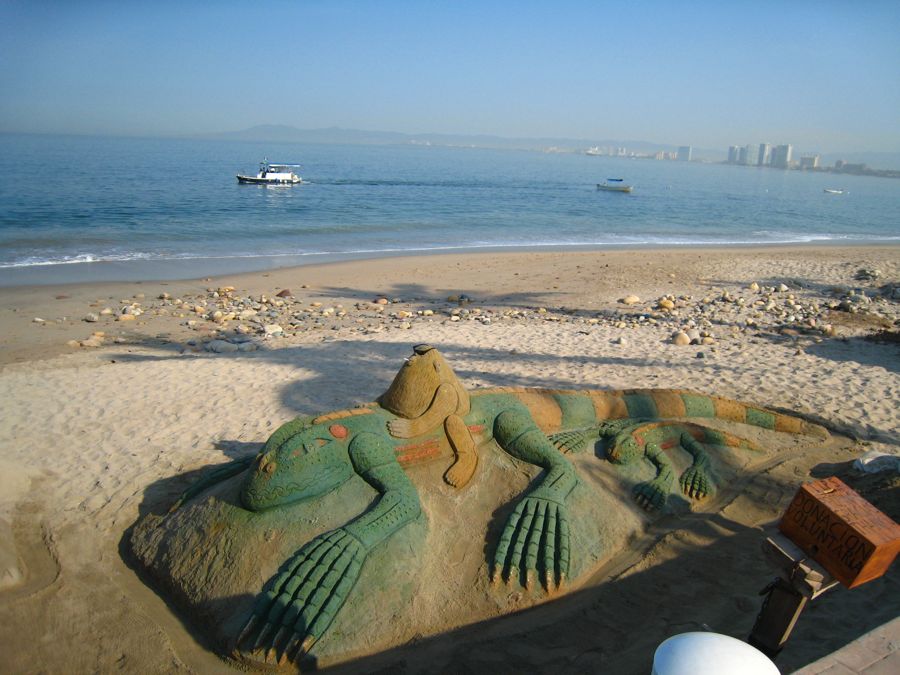
May finds a friend
Did You Know? - Iguanas have excellent vision and can see shapes, shadows, colors and movement at long distances. Iguanas use their eyes to navigate through crowded forests, as well as for finding food. They use visual signals to communicate with other members of the same species. The tympanum is the iguana's ear drum, and is located above the subtympanic shield and behind the eye. Iguanas are often hard to spot, as they tend to blend into their surroundings. Their scale colors are a mode of hiding from larger predators.
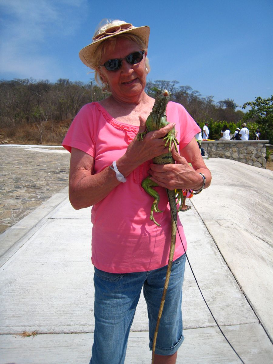
I think I will name him "Lizz" ... Won't our cabin boy be surprised in the morning???
The bus ride goes around the harbor area

There are several small coves around teh bay
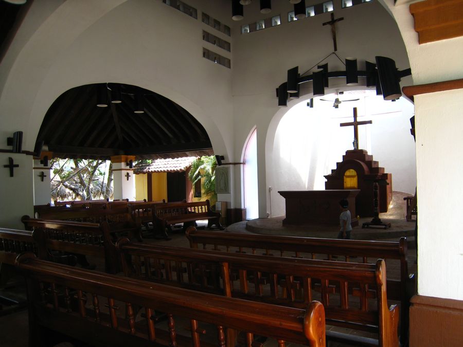
Time to go to church before a little libation

Ah... sipping a drinkie on the beach watching the ship leave... LEAVE?!?!?!?!?

This is NOT the same glass of wine from Puerto Vallarta
... Wanna trade glasses... puleese
We are entertained was we board the ship

The ship docks in the center of the aerial view and the city stretches into the valley to the north
April 9th; It Was A Short Hop To Chiapas, Mexico

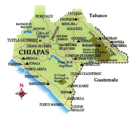
Chiapas (Spanish pronunciation: [ˈtʃjapas]) officially Estado Libre y Soberano de Chiapas (English: Free and Sovereign State of Chiapas) is one of the 31 states which, with the Federal District, comprise the 32 Federal Entities of Mexico. It is divided in 118 municipalities and its capital city is Tuxtla Gutierrez.
Located in Southwestern Mexico, it is the southernmost State of Mexico. It is bordered by the states of Tabasco to the north, Veracruz to the northwest and Oaxaca to the west. To the east Chiapas borders Guatemala, and to the south the Pacific Ocean.
In general Chiapas has a humid, tropical climate. In the north, in the area bordering Tabasco, near Teapa, rainfall can average more than 3,000 mm (120 in) per year. In the past, natural vegetation at this region was lowland, tall perennial rainforest, but this vegetation has been destroyed almost completely to give way to agriculture and ranching. Rainfall decreases moving towards the Pacific Ocean, but it is still abundant enough to allow the farming of bananas and many other tropical crops near Tapachula. On the several parallel "sierras" or mountain ranges running along the center of Chiapas, climate can be quite temperate and foggy, allowing the development of cloud forests like those of the Reserva de la Biosfera el Triunfo, home to a handful of Resplendent Quetzals and Horned Guans.

Entertainment on the dock

The official greeter seems to be everywhere
Guatemala is our next stop


Downtown welcomes visitors

The fountains were refreshing as the temperature and humidity was increasing as we went south
Winner of the Ugliest Statue content
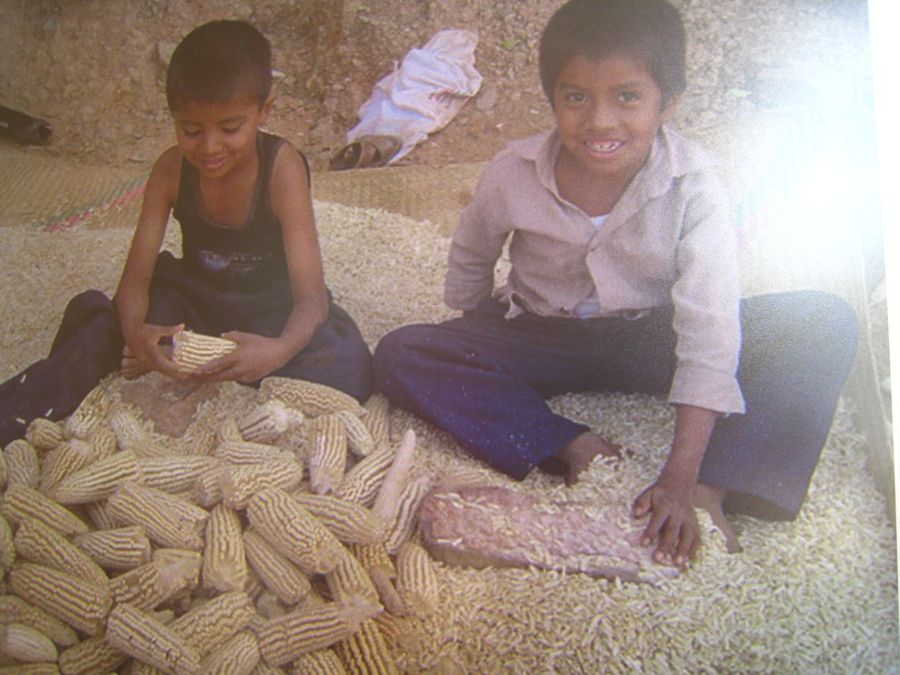
Corn anyone?

Back to the port and time to head south to Guatemala

Puerto Chiapas is a relatively new port of call. The culturally diverse Chiapas port of call is located near the border of Guatemala and has one of the highest gross domestic products per capita in all of Mexico. Puerto Chiapas has a hot and humid tropical climate. The rainy season goes from June through October, making things even balmier. Cruises from Holland America and Regent Cruises often make port in Puerto Chiapas.
The town of Puerto Chiapas itself holds little of touristic interest; the main town in the area is Tapachula, a city of just over 190,000 people. Tapachula is the second largest town in Chiapas state, after the capital Tuxtla Gutierrez.
German immigration to the area in the 1880s led to the establishment of many coffee plantations in the region. During that period, many Japanese and Chinese immigrants also made their way to the Soconusco region to work on the new railway lines and work in the fields and mines. Coffee cultivation and other agricultural-related businesses are the mainstays of the area's economy.